view issue - Adventure World Magazine
view issue - Adventure World Magazine
view issue - Adventure World Magazine

You also want an ePaper? Increase the reach of your titles
YUMPU automatically turns print PDFs into web optimized ePapers that Google loves.
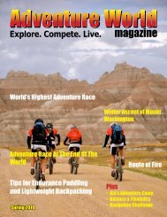
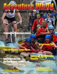
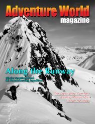
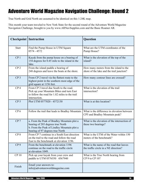
<strong>Adventure</strong> <strong>World</strong> <strong>Magazine</strong> Navigation Challenge: Round 2True North and Grid North are assumed to be identical on this 1:24K map.This month your team traveled to New York State for the second round of the <strong>Adventure</strong> <strong>World</strong> <strong>Magazine</strong>Navigation Challenge, brought to you by www.ARNavSupplies.com and the Basic Roamer AR.Checkpoint InstructionQuestionStartCP 1CP 2Find the Pump House in UTM Square0574 - 4572Kayak from the pump house on a bearing of154 degrees for 0.45 mile to the island in thelake.From the island paddle a bearing of248 degrees and leave the boats at the shore.What are the UTM coordinates of thePump House?What is the elevation of the top of theisland?How many meters from the island to theshore of the lake and the trail junction?CP 3CP 4From CP 2 travel via the flattest route to thehighest point in the southern most edge of thegrid square at 1156 feet.From CP 3 travel due South to the road.Pick up your Mountain Bikes and turn Eastto follow the road for 1.82 miles to the trailintersection.How many contour lines are crossed?What is the elevation of the trailintersection?CP 5 Plot UTM 0577020 - 4572130 What is at this location?CP 6Follow the trail that leads to Bradley Mountain. What is the difference in elevation betweenCP5 and Bradley Mountain peak?CP 7 a. From the Peak of Bradley Mountain plot abearing of 203 degrees true Northb. From the Peak of Lindley Mountain plot abearing of 97 degrees true NorthCP 8 From CP 7 continue in a South East directionon the trail to the road and follow the roadEast to the benchmark at elevation 1196.CP 9 From the benchmark at elevation 1196continue on the road to the traffic circleat elevation 1049.CP 10 Pick up your kayak from your crew andpaddle to UTM 0576550 4567940What is the elevation of the intersection ofthese two bearings?What is the UTM of the Water within 150meters of the benchmark?What is the name of the road that leavesthe traffic circle in a NE direction?What is the True North bearing fromCP 9 to CP 10?FinishEmail your answers to:info@adventureworldmagazine.com<strong>Adventure</strong> <strong>World</strong> <strong>Magazine</strong> June 2008 34