the reef biota at Wilsons promontory marine national - Parks Victoria
the reef biota at Wilsons promontory marine national - Parks Victoria
the reef biota at Wilsons promontory marine national - Parks Victoria
- No tags were found...
Create successful ePaper yourself
Turn your PDF publications into a flip-book with our unique Google optimized e-Paper software.
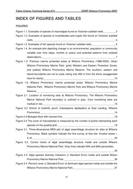
<strong>Parks</strong> <strong>Victoria</strong> Technical Series #74SRMP <strong>Wilsons</strong> Promontory MNPINDEX OF FIGURES AND TABLESFIGURESFigure 1.1. Examples of species of macroalgae found on <strong>Victoria</strong>n subtidal <strong>reef</strong>s. 3Figure 1.2. Examples of species of invertebr<strong>at</strong>es and cryptic fish found on <strong>Victoria</strong>n subtidal<strong>reef</strong>s. 4Figure 1.3. Examples of fish species found on <strong>Victoria</strong>n subtidal <strong>reef</strong>s. 5Figure 1.4. An example plot depicting change in an environmental, popul<strong>at</strong>ion or communityvariable over time (days, months or years) and potential p<strong>at</strong>terns from isol<strong>at</strong>edobserv<strong>at</strong>ions. 7Figure 1.5. Previous <strong>marine</strong> protected areas <strong>at</strong> <strong>Wilsons</strong> Promontory (1986-2002): (blue)<strong>Wilsons</strong> Promontory Marine Park; (pink) Western and Eastern Protection Zones;and (yellow) <strong>Wilsons</strong> Promontory Marine Reserve. The sou<strong>the</strong>rn, eastern andisland boundaries are not to scale, being only 300 m from <strong>the</strong> shore (exagger<strong>at</strong>edhere for clarity). 10Figure 1.6. <strong>Wilsons</strong> Promontory <strong>marine</strong> protected areas: <strong>Wilsons</strong> Promontory MarineN<strong>at</strong>ional Park; <strong>Wilsons</strong> Promontory Marine Park and <strong>Wilsons</strong> Promontory MarineReserve. 11Figure 2.1. Loc<strong>at</strong>ion of monitoring sites <strong>at</strong> <strong>Wilsons</strong> Promontory. The <strong>Wilsons</strong> PromontoryMarine N<strong>at</strong>ional Park boundary is outlined in grey. Core monitoring sites aremarked in red. 13Figure 2.2 School of butterfly perch Caesioperca lepidoptera <strong>at</strong> East Landing, <strong>Wilsons</strong>Promontory. 14Figure 2.3 Biologist-diver with transect line. 18Figure 2.4 The cover of macrophytes is measured by <strong>the</strong> number of points intersecting eachspecies on <strong>the</strong> quadr<strong>at</strong> grid. 19Figure 3.1. Three-dimensional MDS plot of algal assemblage structure for sites <strong>at</strong> <strong>Wilsons</strong>Promontory. Black symbols indic<strong>at</strong>e <strong>the</strong> first survey <strong>at</strong> th<strong>at</strong> site. Kruskal stress =0.16. 33Figure 3.2. Control charts of algal assemblage structure inside and outside <strong>Wilsons</strong>Promontory Marine N<strong>at</strong>ional Park. Grey lines indic<strong>at</strong>e 50th and 90th percentiles.35Figure 3.3. Algal species diversity indic<strong>at</strong>ors (± Standard Error) inside and outside WilsonPromontory Marine N<strong>at</strong>ional Park. 36Figure 3.4. Percent cover (± Standard Error) of dominant algal species inside and outside <strong>the</strong><strong>Wilsons</strong> Promontory Marine N<strong>at</strong>ional Park. 37vi


