3 - Centre National de Recherches Météorologiques - Météo France
3 - Centre National de Recherches Météorologiques - Météo France
3 - Centre National de Recherches Météorologiques - Météo France

You also want an ePaper? Increase the reach of your titles
YUMPU automatically turns print PDFs into web optimized ePapers that Google loves.
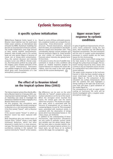
Cyclonic forecastingA specific cyclone initializationMétéo-<strong>France</strong> Regional <strong>Centre</strong> based in LaRéunion island watches over the south-westIndian ocean cyclones, an international dutyentrusted by WMO. Numerical mo<strong>de</strong>lling hasbecome an essential tool to forecast cyclones.The mo<strong>de</strong>l initialization uses huge amountof data, mainly satellite measurements.However, data actually used in the cyclonebody are very sparse (figure a) because ofcloud, rain or strong wind contamination.Thus, the cyclone structure and intensityanalysis is/are very difficult. Dvorak analysis,that forecasters perform by using satelliteimagery, gives reliable estimates of themain cyclone characteristics. Forecastersuse satellite imagery for (a) Dvorak analysiswhich gives main characteristics of a lowatmospheric pressure system.Based on some of these estimated parameters,analytical mo<strong>de</strong>ls can compute the correspondingthree-dimensional cyclonestructure. Pseudo-observations, <strong>de</strong>ducedfrom the latter, are assimilated in the Aladin-Réunion mo<strong>de</strong>l since December 2007. Theyconsi<strong>de</strong>rably improve cyclone analyses andforecast positions (figure b). Great benefitsare also visible on intensity forecasts.Forecasts about intensity also greatly benefitfrom them.In the years to come, the use of satellite measurementsin cloudy or rainy conditions willspread on. Another important progress forcyclone forecast is to improve the ocean <strong>de</strong>scription,since the ocean is the main energysource for the cyclone <strong>de</strong>velopment. 18The effect of La Reunion Islandon the tropical cyclone Dina (2002)The intense tropical cyclone Dina directly affectedLa Réunion Island on 22 January 2002, causingimportant material damages. This event isan interesting case study to investigate theinteractions between the steep orography of LaReunion Island and a cyclone.For this purpose, two simulations wereconducted with Meso-NH mo<strong>de</strong>l zooming onLa Reunion at a 4 km horizontal resolution:• the first named “Island” with La ReunionIsland,• the second named “Ocean” in which LaReunion Island has been replaced withocean.Both simulations give very similar tracks ofcyclone Dina; “Island” shows a very slightnorthward <strong>de</strong>flection, which has beenobserved in reality but in a more pronouncedway. The island seems to reduce naturaloscillations existing in the eyewall: thecyclone intensity for “Island” is then weaker.Big differences can be seen on the windfield with, for “Island”, weaker winds and amarked subsi<strong>de</strong>nce on the lee of the island.When the strongest winds reached theisland, the stream goes over the islandrather than around it. This excites an orographicwave, which is associated with theintrusion of stratospheric air, as shown bycomparing figures 1a and 1b. This simulatedwave, associated with maximum winds, isconsistent with the observation of strongwinds which have <strong>de</strong>vastated forests in theCilaos cirque, yet sheltered.In addition to the un<strong>de</strong>rstanding of thesemechanisms, high-resolution simulationsare very useful to estimate cyclonic windsand rainfalls over the whole island. Meso-NH has been able to simulate realistic characteristicsof a mature tropical cyclone; in afuture work, we will focus on an earliestcyclone life stage: the cyclogenesis. 19Upper ocean layerresponse to cyclonicconditionsIn spite of significant improvements of hurricanestracks prediction during the lastyears, their intensities are still affected byimportant uncertainties. The poor resolutionand the lack of coupled ocean-atmosphereprocesses in current mo<strong>de</strong>ls are the mainreason for this shortcoming.Hurricanes extract most of their energy fromthe heat stored in the ocean upper-layersthrough the surface heat exchanges. The turbulentmixing induced by wind, waves andcurrents is also an important source of oceaniccooling which has a direct impact on hurricaneintensity.The upper ocean response to the hurricane<strong>France</strong>s in 2004 has been studied using anocean mixed-layer mo<strong>de</strong>l in the Antillesregion (figure a). The comparison of thesimulated sea surface temperatures (SST)with the satellite SST data highlights astrong cooling on the right si<strong>de</strong> of the hurricanetrack and gives a good validation ofthis mo<strong>de</strong>l (figure b).The consequences of such an upper oceancooling on hurricanes life cycle will beshortly investigated with a coupled oceanatmospheremo<strong>de</strong>l. 2014 . Research and <strong>de</strong>velopment: annual report 2007