

Fact sheet - Reference areas.pub - Parks Victoria
Fact sheet - Reference areas.pub - Parks Victoria
Fact sheet - Reference areas.pub - Parks Victoria
- No tags were found...

Create successful ePaper yourself
Turn your PDF publications into a flip-book with our unique Google optimized e-Paper software.
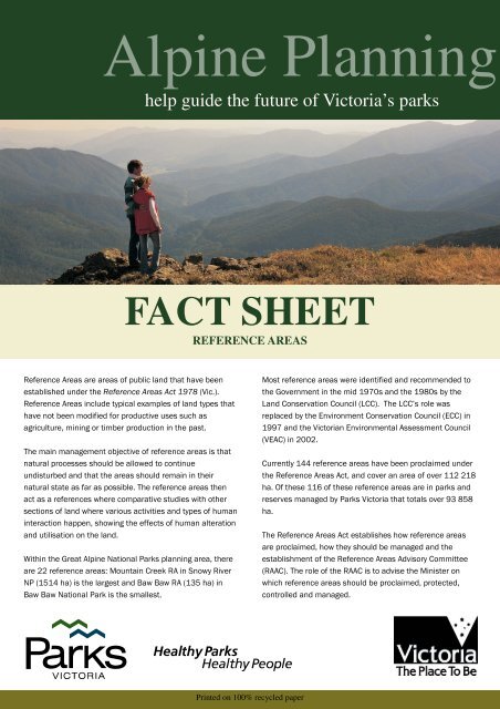
Alpine Planninghelp guide the future of <strong>Victoria</strong>’s parksFACT SHEETREFERENCE AREAS<strong>Reference</strong> Areas are <strong>areas</strong> of <strong>pub</strong>lic land that have beenestablished under the <strong>Reference</strong> Areas Act 1978 (Vic.).<strong>Reference</strong> Areas include typical examples of land types thathave not been modified for productive uses such asagriculture, mining or timber production in the past.The main management objective of reference <strong>areas</strong> is thatnatural processes should be allowed to continueundisturbed and that the <strong>areas</strong> should remain in theirnatural state as far as possible. The reference <strong>areas</strong> thenact as a references where comparative studies with othersections of land where various activities and types of humaninteraction happen, showing the effects of human alterationand utilisation on the land.Within the Great Alpine National <strong>Parks</strong> planning area, thereare 22 reference <strong>areas</strong>: Mountain Creek RA in Snowy RiverNP (1514 ha) is the largest and Baw Baw RA (135 ha) inBaw Baw National Park is the smallest.Most reference <strong>areas</strong> were identified and recommended tothe Government in the mid 1970s and the 1980s by theLand Conservation Council (LCC). The LCC’s role wasreplaced by the Environment Conservation Council (ECC) in1997 and the <strong>Victoria</strong>n Environmental Assessment Council(VEAC) in 2002.Currently 144 reference <strong>areas</strong> have been proclaimed underthe <strong>Reference</strong> Areas Act, and cover an area of over 112 218ha. Of these 116 of these reference <strong>areas</strong> are in parks andreserves managed by <strong>Parks</strong> <strong>Victoria</strong> that totals over 93 858ha.The <strong>Reference</strong> Areas Act establishes how reference <strong>areas</strong>are proclaimed, how they should be managed and theestablishment of the <strong>Reference</strong> Areas Advisory Committee(RAAC). The role of the RAAC is to advise the Minister onwhich reference <strong>areas</strong> should be proclaimed, protected,controlled and managed.Printed on 100% recycled paper
The <strong>Reference</strong> Areas Act does not provide managementdirections for reference <strong>areas</strong>, but does provide for theMinister to <strong>pub</strong>lish directives, known as ‘MinisterialDirectives’ for the control, management and protection ofreference <strong>areas</strong>. The Ministerial Directives covers issuesincluding use of fire, weeds, pests and diseases, access,prohibited activities, indigenous species and monitoring.Where a reference area is part of a larger area of <strong>pub</strong>lic landcovered by park management plans, such as the reference<strong>areas</strong> within the Greater Alpine National <strong>Parks</strong> planningarea, the management authority (<strong>Parks</strong> <strong>Victoria</strong>) mustensure that the plan, where it covers management of thereference area, is in accordance with the MinisterialDirectives.Within a reference area, all activities that are not associatedwith protecting the natural processes of the area,emergency operations or approved research are prohibited.Activities such as grazing, mineral exploration, mining,harvesting of forest produce, all other forms of harvesting(except water), quarrying, bee-keeping, educational use,recreational activities including walking and any otheractivities that can affect the natural processes of areference area, are not allowed within a reference area.Access to reference <strong>areas</strong> is restricted to personnelundertaking tasks associated with management oremergency operations (including short-term emergencywater supply), and others who have the approval of theMinister. A reference area may be used for researchpurposes related specifically to the area provided thatstudies do not involve environmental manipulation and asuitable alternative for the studies is not available.Researchers require approval from the Minister to work in areference area.<strong>Reference</strong> Areas in the Greater Alpine National <strong>Parks</strong><strong>Reference</strong> AreaAlpine National ParkArea haBeehive Creek RA 796Blue Rag RA 713Boiler Plain RA 827Buenba RA 370Burnside RA 1207East Caledonia RA 493Forest Hill RA 361Hollands Knob RA 358Lagoon Plateau RA 1045Mount McAdam RA 231Mount Pleasant RA 492Porphyry Hill RA 222Shepherds Creek RA 684Tom Groggin RA 897Whiterock Creek RA 222Wombat Creek RA 308Wonnangatta River RA 479Baw Baw National ParkBaw Baw RA 135Mount Buffalo National ParkMount Buffalo RA 1167Snowy River National ParkGelantipy Plateau RA 431Mountain Creek RA 1514Zig Zag Creek RA 595Total 13547Take a fresh approach toplanningJoin us at www.weplan.parks.vic.gov.auor phone 13 1963 for more informationPrinted on 100% recycled paper


