Rrjeti Satelitor i References se Koordinatave ALBPOS - BALGEOS
Rrjeti Satelitor i References se Koordinatave ALBPOS - BALGEOS
Rrjeti Satelitor i References se Koordinatave ALBPOS - BALGEOS

Create successful ePaper yourself
Turn your PDF publications into a flip-book with our unique Google optimized e-Paper software.
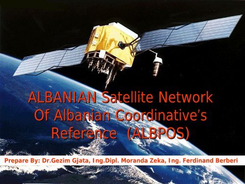
ALBANIAN Satellite NetworkOf Albanian Coordinative’sReference (<strong>ALBPOS</strong>)Prepare By: Dr.Gezim Gjata, Ing.Dipl. Moranda Zeka, Ing. Ferdinand Berberi
Content of pre<strong>se</strong>ntation• Existing Albanian National Geodetic Network• Measurment Compaining by NIMA 1994• Measurment Compaining by Univ. Wisconsin 1998• Measument Process to link with EUREF• <strong>ALBPOS</strong> Project• Conclusions
INIMA Field MeasurmensIt was carry out incolloboration with AmericanCartographic Agency(todayINIMA) at october 1994.The Purpo<strong>se</strong> of this activitywas transformation ofNational Geodetic Networkinto the World System ofWGS 84.During this Field Compaingwere measured alltogether 35points, where 24 were<strong>se</strong>lected from the NationalTriangolation Network(10 points from First range ofit; 14 from <strong>se</strong>cond range;and 11 points were takenfrom the First class ofNational Liveling System).
The standard deviations in the coordinates of tho<strong>se</strong>stations were of the range by 1-2 cm.Second Measurment Campaign withGPS (February 1998)It was carry out in colloboration with GeodeticDepartment of Civil Engineering Faculty / WisconsinUniversity.The objective of this activity was the connection ofAlbanian National Geodetic Network with InternationalReference System (ITRF).During this measurment Process were measured: Pointnr.: 8814 (Kamza), Point nr.6339 (Shkodra),and point12602 (Korça).
Septembre 1998 anotherMeasurment Campaign wasreali<strong>se</strong>d by using GPS.The objective: Connection of ourGeodetic Network with theEuropian reference SystemETRS-89.The measurments were carry outin 8 stations.5 points (or stations) were fromNational Geodetic Network and3 of them from the GeodinamicNetwork.Tho<strong>se</strong> are known now as theEUREF –Stations.The Standart Deviations instation’s coordinates were of therange ± 2mm in plan dhe ±6 mm in hight.
Till to 2007• Various Measurment Campaigns.• Various Purpo<strong>se</strong>s or Objectives.• To much measurments...• Conclusions ???What’s s the answer? What was next?
<strong>ALBPOS</strong>(Albanian Positioning Satellite Service)• The achivments and lesson to be learned led us:1. to argue that a Satellite Network and System is a neccesary y and unicsolution to solve all our problems. This idea was support from the tEU viaEURALIUS Office(an EU project to support the legal Sysytem in Cadaster) inTirana, which supported and helped Albanian Institutions to go head hwiththis idea. The <strong>ALBPOS</strong> was named this project.The first step: An Understanding Memorandum between Albanian NationalGeographic Institute, Department of Geodesy of CEF, The Central Office ofProperty Registraton and the Geoscience Institute, were signed.• A technical project were <strong>se</strong>t up for this purpo<strong>se</strong>.• As the first activity of the project was determining destribution n and locationof recever stations , during the year 2008. (<strong>se</strong>e the map in next page).
The following pages in albanaian languages are described the criterions which were adestribution and locations of the permanent stations.
Functioning of the <strong>ALBPOS</strong>
Location of Antennas(Examples from....)
Locations of Controll Centers(Examples from....)
Conclusions• Albania has reali<strong>se</strong>d before 2007 manymeasurment campaigns and projects, butuncoordinated and pure results .• The projects before some time have beenrepeated each other, which has cou<strong>se</strong> theunu<strong>se</strong>full cost.• This project ba<strong>se</strong>d even in the good will of theall institutios and arranged by law andgovernment decision, is going head and <strong>se</strong>emsto be profitable for all u<strong>se</strong>rs and the basicsupport for various projects in Albania.