Create successful ePaper yourself
Turn your PDF publications into a flip-book with our unique Google optimized e-Paper software.
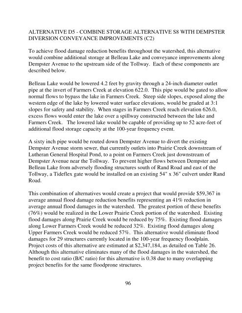
ALTERNATIVE D5 - COMBINE STORAGE ALTERNATIVE S8 WITH DEMPSTERDIVERSION CONVEYANCE IMPROVEMENTS (C2)To achieve flood damage reduction benefits throughout the watershed, this alternativewould combine additional storage at Belleau Lake and conveyance improvements alongDempster Avenue to the upstream side <strong>of</strong> the Tollway. Each <strong>of</strong> these components aredescribed below.Belleau Lake would be lowered 4.2 feet by gravity through a 24-inch diameter outletpipe at the invert <strong>of</strong> Farmers Creek at elevation 622.0. This pipe would be gated to allownormal flows to bypass the lake in Farmers Creek. Steep side slopes, exposed along thewestern edge <strong>of</strong> the lake by lowered water surface elevations, would be graded at 3:1slopes for safety and stability. When stages in Farmers Creek reach elevation 626.0,excess flows would enter the lake over a spillway constructed between the lake andFarmers Creek. The lowered lake would be capable <strong>of</strong> providing up to 52 acre-feet <strong>of</strong>additional flood storage capacity at the 100-year frequency event.A sixty inch pipe would be routed down Dempster Avenue to divert the existingDempster Avenue storm sewer, that currently outlets into Prairie Creek downstream <strong>of</strong>Lutheran General Hospital Pond, to a point on Farmers Creek just downstream <strong>of</strong>Dempster Avenue near the Tollway. To prevent higher flows between Dempster andBelleau Lake from adversely flooding structures south <strong>of</strong> Rand Road and east <strong>of</strong> theTollway, a Tideflex gate would be installed on an existing 54" x 36" culvert under RandRoad.This combination <strong>of</strong> alternatives would create a project that would provide $59,367 inaverage annual flood damage reduction benefits representing an 41% reduction inaverage annual flood damages in the watershed. The greatest portion <strong>of</strong> these benefits(76%) would be realized in the Lower Prairie Creek portion <strong>of</strong> the watershed. Existingflood damages along Prairie Creek would be reduced by 75%. Existing flood damagesalong Lower Farmers Creek would be reduced 32%. Existing flood damages alongUpper Farmers Creek would be reduced 57%. This alternative would eliminate flooddamages for 29 structures currently located in the 100-year frequency floodplain.Project costs <strong>of</strong> this alternative are estimated at $2,347,184, as detailed on Table 26.Although this alternative eliminates many <strong>of</strong> the flood damages in the watershed, thebenefit to cost ratio (B/C ratio) for this alternative is 0.38 due to many overlappingproject benefits for the same floodprone structures.96


