draft revised kaihu river management plan - Northland Regional ...
draft revised kaihu river management plan - Northland Regional ...
draft revised kaihu river management plan - Northland Regional ...
- No tags were found...

Create successful ePaper yourself
Turn your PDF publications into a flip-book with our unique Google optimized e-Paper software.
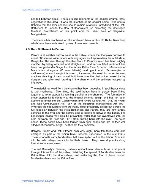
Revised Kaihu Management Plan March 2010ponded between tides. There are still remnants of the original swamp forestvegetation in this area. It was the intention of the original Kaihu River ControlScheme that the <strong>river</strong> channel should remain relatively unmodified at the RotuBottleneck to impede the flow of floodwaters, so protecting the developedfarmland downstream of this point and the urban area of Dargaville-Mangawhare.There are other stopbanks on the upstream bank of this old Kaihu River loopwhich have been authorised by way of resource consents.7.5. Rotu Bottleneck to ParoreParore is at another narrow point in the valley, where the floodplain narrows toabout 300 metres wide before widening again as it approaches the outskirts ofDargaville. The <strong>river</strong> through this 6km Rotu to Parore stretch has been slightlymodified by being widened and straightened, and accumulated sediment hasbeen dredged under Stage 2 of the former Kaihu River Scheme. Infestations ofManchurian ricegrass (Zizania latifolia) and giant rush (Schoenoplectuscalifornicus) occur through this stretch, increasing the need for more frequentmachine cleaning of the channel, both to remove the obstruction caused by thericegrass and giant rush growing in the channel and the sediment trapped bythis weed.The material removed from the channel has been deposited in spoil heaps closeto the <strong>river</strong>banks. Over time, the spoil heaps have in places been linkedtogether to form stopbanks running parallel to the channel. The formation ofthese stopbanks is contrary to the original scheme design and has not beenauthorised under the Soil Conservation and Rivers Control Act 1941, the Waterand Soil Conservation Act 1967 or the Resource Management Act 1991.Whereas the floodwaters from the Kaihu River previously spilled out across thefull floodplain between the Rotu Bottleneck and Parore, they are now largelyconfined to the <strong>river</strong> and the narrow strip of bermland between the banks. Thebanks/spoil heaps may also be preventing water that has overflowed into thearea between the <strong>river</strong> and SH12 from flowing back into the <strong>river</strong>. As notedabove, these banks have been formed from spoil heaps and are neither wellsited or of consistent height, neither are they complete.Babylon Stream and Rotu Stream, both west (right) bank tributaries were alsoenlarged as part of the Kaihu River Scheme undertaken in the mid-1960s.These channels carry floodwaters that have spilled out of the Kaihu River andinto the side valleys, back into the Kaihu River. They have stopbanks alongtheir sides in some areas.The old Donnelly’s Crossing Railway embankment also acts as a stopbankthrough this section of the valley, restricting the spread of floodwaters from theKaihu River into the side valleys, and restricting the flow of these pondedfloodwaters back into the Kaihu River.<strong>Northland</strong> <strong>Regional</strong> Council - 10 -