Geology and Resource Assessment of the Venezuelan ... - USGS
Geology and Resource Assessment of the Venezuelan ... - USGS
Geology and Resource Assessment of the Venezuelan ... - USGS
You also want an ePaper? Increase the reach of your titles
YUMPU automatically turns print PDFs into web optimized ePapers that Google loves.
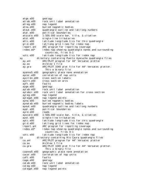
atge.e00 geology<br />
atlab.e00 rock unit label annotation<br />
atleg.e00 map legend<br />
atma.e00 buried magnetic bodies<br />
atout.e00 quadrangle outline <strong>and</strong> lat/long numbers<br />
atpl.e00 political boundaries<br />
atscale.e00 1:500,000 scale bar, title, & citation<br />
atst.e00 single-line tributaries<br />
attc.e00 latitude longitude tics for this quadrangle<br />
grid.e00 lat/long grid lines for index map<br />
import.aml ARC program for importing coverage<br />
index.e0* index map showing quadrangle names <strong>and</strong> surrounding<br />
countries, files 0-1<br />
vztc.e00 latitude longitude tics for index map<br />
ay directory containing Puerto Ayacucho quadrangle files<br />
ay.aml ARC/PLOT program for 44" Versatec plotter<br />
ay.av ArcView 1 file<br />
ay.gra ARC/PLOT 1040 plot file for 44" Versatec plotter.<br />
This a binary file<br />
ayanno5.e00 geographic place name annotation<br />
aycor.e00 correlation <strong>of</strong> map units<br />
aycrlbm.e00 cross section labels<br />
aycrm.e00 cross section arcs<br />
ayft.e00 faults<br />
ayge.e00 geology<br />
aylab.e00 rock unit label annotation<br />
aylabcr.e00 rock unit label annotation for cross section<br />
ayleg.e00 map legend<br />
aylegpt.e00 map legend points<br />
ayma.e00 buried magnetic bodies<br />
aymalab.e00 buried magnetic bodies labels<br />
ayout.e00 quadrangle outline <strong>and</strong> lat/long numbers<br />
aypl.e00 political boundaries<br />
ayrd.e00 roads<br />
ayscale.e00 1:500,000 scale bar, title, & citation<br />
ayst.e00 single-line tributaries<br />
aytc.e00 latitude longitude tics for this quadrangle<br />
grid.e00 lat/long grid lines for index map<br />
import.aml ARC program for importing coverage<br />
index.e0* index map showing quadrangle names <strong>and</strong> surrounding<br />
countries, files 0-1<br />
vztc.e00 latitude longitude tics for index map<br />
ca directory containing Río Caura quadrangle files<br />
ca.aml ARC/PLOT program for 44" Versatec plotter<br />
ca.av ArcView 1 file<br />
ca.gra ARC/PLOT 1040 plot file for 44" Versatec plotter.<br />
This a binary file<br />
caanno5.e00 geographic place name annotation<br />
cacor.e00 correlation <strong>of</strong> map units<br />
caft.e00 faults<br />
cage.e00 geology<br />
calab.e00 rock unit label annotation<br />
caleg.e00 map legend<br />
calegpt.e00 map legend points


