Geology and Resource Assessment of the Venezuelan ... - USGS
Geology and Resource Assessment of the Venezuelan ... - USGS
Geology and Resource Assessment of the Venezuelan ... - USGS
Create successful ePaper yourself
Turn your PDF publications into a flip-book with our unique Google optimized e-Paper software.
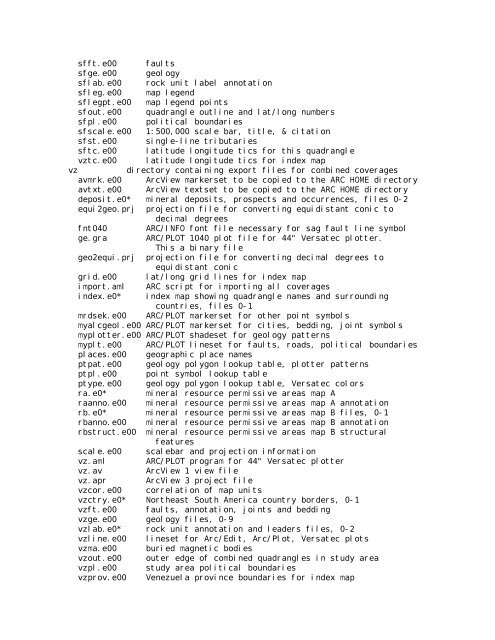
sfft.e00 faults<br />
sfge.e00 geology<br />
sflab.e00 rock unit label annotation<br />
sfleg.e00 map legend<br />
sflegpt.e00 map legend points<br />
sfout.e00 quadrangle outline <strong>and</strong> lat/long numbers<br />
sfpl.e00 political boundaries<br />
sfscale.e00 1:500,000 scale bar, title, & citation<br />
sfst.e00 single-line tributaries<br />
sftc.e00 latitude longitude tics for this quadrangle<br />
vztc.e00 latitude longitude tics for index map<br />
vz directory containing export files for combined coverages<br />
avmrk.e00 ArcView markerset to be copied to <strong>the</strong> ARC HOME directory<br />
avtxt.e00 ArcView textset to be copied to <strong>the</strong> ARC HOME directory<br />
deposit.e0* mineral deposits, prospects <strong>and</strong> occurrences, files 0-2<br />
equi2geo.prj projection file for converting equidistant conic to<br />
decimal degrees<br />
fnt040 ARC/INFO font file necessary for sag fault line symbol<br />
ge.gra ARC/PLOT 1040 plot file for 44" Versatec plotter.<br />
This a binary file<br />
geo2equi.prj projection file for converting decimal degrees to<br />
equidistant conic<br />
grid.e00 lat/long grid lines for index map<br />
import.aml ARC script for importing all coverages<br />
index.e0* index map showing quadrangle names <strong>and</strong> surrounding<br />
countries, files 0-1<br />
mrdsek.e00 ARC/PLOT markerset for o<strong>the</strong>r point symbols<br />
myalcgeol.e00 ARC/PLOT markerset for cities, bedding, joint symbols<br />
myplotter.e00 ARC/PLOT shadeset for geology patterns<br />
myplt.e00 ARC/PLOT lineset for faults, roads, political boundaries<br />
places.e00 geographic place names<br />
ptpat.e00 geology polygon lookup table, plotter patterns<br />
ptpl.e00 point symbol lookup table<br />
ptype.e00 geology polygon lookup table, Versatec colors<br />
ra.e0* mineral resource permissive areas map A<br />
raanno.e00 mineral resource permissive areas map A annotation<br />
rb.e0* mineral resource permissive areas map B files, 0-1<br />
rbanno.e00 mineral resource permissive areas map B annotation<br />
rbstruct.e00 mineral resource permissive areas map B structural<br />
features<br />
scale.e00 scalebar <strong>and</strong> projection information<br />
vz.aml ARC/PLOT program for 44" Versatec plotter<br />
vz.av ArcView 1 view file<br />
vz.apr ArcView 3 project file<br />
vzcor.e00 correlation <strong>of</strong> map units<br />
vzctry.e0* Nor<strong>the</strong>ast South America country borders, 0-1<br />
vzft.e00 faults, annotation, joints <strong>and</strong> bedding<br />
vzge.e00 geology files, 0-9<br />
vzlab.e0* rock unit annotation <strong>and</strong> leaders files, 0-2<br />
vzline.e00 lineset for Arc/Edit, Arc/Plot, Versatec plots<br />
vzma.e00 buried magnetic bodies<br />
vzout.e00 outer edge <strong>of</strong> combined quadrangles in study area<br />
vzpl.e00 study area political boundaries<br />
vzprov.e00 Venezuela province boundaries for index map


