The Rights of Way Improvement Plan for RCT - Rhondda Cynon Taf
The Rights of Way Improvement Plan for RCT - Rhondda Cynon Taf
The Rights of Way Improvement Plan for RCT - Rhondda Cynon Taf
- No tags were found...

Create successful ePaper yourself
Turn your PDF publications into a flip-book with our unique Google optimized e-Paper software.
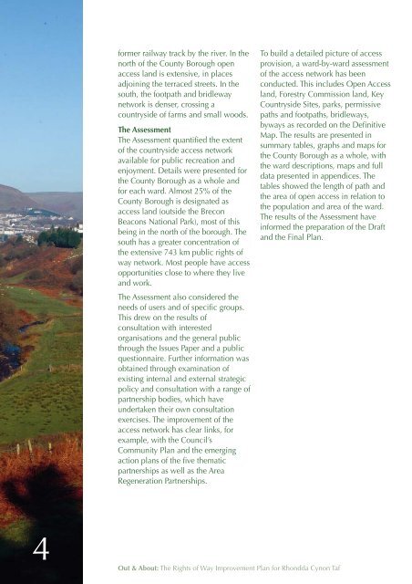
<strong>for</strong>mer railway track by the river. In thenorth <strong>of</strong> the County Borough openaccess land is extensive, in placesadjoining the terraced streets. In thesouth, the footpath and bridlewaynetwork is denser, crossing acountryside <strong>of</strong> farms and small woods.<strong>The</strong> Assessment<strong>The</strong> Assessment quantified the extent<strong>of</strong> the countryside access networkavailable <strong>for</strong> public recreation andenjoyment. Details were presented <strong>for</strong>the County Borough as a whole and<strong>for</strong> each ward. Almost 25% <strong>of</strong> theCounty Borough is designated asaccess land (outside the BreconBeacons National Park), most <strong>of</strong> thisbeing in the north <strong>of</strong> the borough. <strong>The</strong>south has a greater concentration <strong>of</strong>the extensive 743 km public rights <strong>of</strong>way network. Most people have accessopportunities close to where they liveand work.<strong>The</strong> Assessment also considered theneeds <strong>of</strong> users and <strong>of</strong> specific groups.This drew on the results <strong>of</strong>consultation with interestedorganisations and the general publicthrough the Issues Paper and a publicquestionnaire. Further in<strong>for</strong>mation wasobtained through examination <strong>of</strong>existing internal and external strategicpolicy and consultation with a range <strong>of</strong>partnership bodies, which haveundertaken their own consultationexercises. <strong>The</strong> improvement <strong>of</strong> theaccess network has clear links, <strong>for</strong>example, with the Council’sCommunity <strong>Plan</strong> and the emergingaction plans <strong>of</strong> the five thematicpartnerships as well as the AreaRegeneration Partnerships.To build a detailed picture <strong>of</strong> accessprovision, a ward-by-ward assessment<strong>of</strong> the access network has beenconducted. This includes Open Accessland, Forestry Commission land, KeyCountryside Sites, parks, permissivepaths and footpaths, bridleways,byways as recorded on the DefinitiveMap. <strong>The</strong> results are presented insummary tables, graphs and maps <strong>for</strong>the County Borough as a whole, withthe ward descriptions, maps and fulldata presented in appendices. <strong>The</strong>tables showed the length <strong>of</strong> path andthe area <strong>of</strong> open access in relation tothe population and area <strong>of</strong> the ward.<strong>The</strong> results <strong>of</strong> the Assessment havein<strong>for</strong>med the preparation <strong>of</strong> the Draftand the Final <strong>Plan</strong>.4Out & About: <strong>The</strong> <strong>Rights</strong> <strong>of</strong> <strong>Way</strong> <strong>Improvement</strong> <strong>Plan</strong> <strong>for</strong> <strong>Rhondda</strong> <strong>Cynon</strong> <strong>Taf</strong>