

EVALUATING THE OUTDOOR LEARNING EXPERIENCE
2cZM4EO
2cZM4EO

You also want an ePaper? Increase the reach of your titles
YUMPU automatically turns print PDFs into web optimized ePapers that Google loves.
Qualitative Spatial<br />
Mapping<br />
Why qualitative spatial mapping?<br />
Recording location data using a GPS is increasingly<br />
easy now there are low-cost devices available. A GPSenabled<br />
device (for example, a smart-phone, camera,<br />
or watch) can record traces of where people go, and<br />
where photographs and videos are taken.<br />
These traces can be displayed, or visualised, on a map.<br />
Location data can also be linked to other types of data,<br />
such as photos, videos and audio data. Some devices can<br />
record accelerometer data, which can be used to indicate<br />
levels of physical activity.<br />
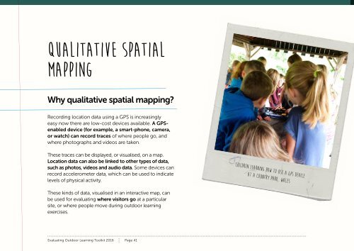
children learning how to use a GPS device<br />
at a country park, Wales<br />
These kinds of data, visualised in an interactive map, can<br />
be used for evaluating where visitors go at a particular<br />
site, or where people move during outdoor learning<br />
exercises.<br />
Evaluating Outdoor Learning Toolkit 2016 Page 41