The Air Navigation System Plan - Nav Canada
The Air Navigation System Plan - Nav Canada
The Air Navigation System Plan - Nav Canada

You also want an ePaper? Increase the reach of your titles
YUMPU automatically turns print PDFs into web optimized ePapers that Google loves.
18<br />
AVIATION WEATHER<br />
Near-Term 2015 - 2019<br />
Enhancements to the<br />
CFPS will continue<br />
to be pursued<br />
based on customer<br />
collaboration.<br />
Information and<br />
updates will be<br />
available using modern<br />
technology (e.g.<br />
weather and NOTAM<br />
updates for enroute<br />
aircraft available<br />
using a mobile device).<br />
<strong>The</strong> aviation weather<br />
forecast production<br />
system will move<br />
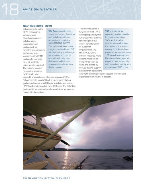
WX Cams provide near<br />
real-time images of weather<br />
and visibility conditions,<br />
accessible through the<br />
NAV CANADA AWWS.<br />
<strong>The</strong> high resolution, colour<br />
image is updated every 10<br />
minutes, using a wide-angle<br />
perspective, and can be<br />
overlaid with height and<br />
distance markers that<br />
reference key elements of<br />
the landscape.<br />
toward the introduction of semi-automated TAFs.<br />
Enhancements to AWOS will be pursued, including<br />
applying advances in WX Camera visibility technology.<br />
HWOS will be deployed at over 160 sites. <strong>The</strong> HWOS is<br />
designed to be expandable, allowing future sensors to<br />
connect to the system.<br />
AIR NAVIGATION SYSTEM PLAN 2012<br />
<strong>The</strong> move towards a<br />
fully-automated TAF is<br />
an ongoing activity that<br />
will proceed as evolving<br />
technologies allow<br />
and in consideration<br />
of customer<br />
requirements. As<br />
the AWOS/LWIS<br />
system matures, more<br />
opportunities will be<br />
considered such as<br />
using the minute-byminute<br />
data to support<br />
both aircraft operations<br />
TAF is a format for<br />
reporting aviation weather<br />
forecast information.<br />
TAFs apply to a five<br />
statute mile radius from<br />
the center of the airport<br />
runway complex and are<br />
prepared for approximately<br />
180 aerodromes across<br />
<strong>Canada</strong> and are generally<br />
prepared four times daily<br />
with periods of validity up to<br />
a maximum of 30 hours.<br />
and flight planning decision support systems and<br />
expanding the network of stations.


![[ cac ] canadian airport charts - Nav Canada](https://img.yumpu.com/12328212/1/190x252/-cac-canadian-airport-charts-nav-canada.jpg?quality=85)