Canopies and Corridors - International Fund for Animal Welfare
Canopies and Corridors - International Fund for Animal Welfare
Canopies and Corridors - International Fund for Animal Welfare

Create successful ePaper yourself
Turn your PDF publications into a flip-book with our unique Google optimized e-Paper software.
practiced in the area. Everybody has the usufructary<br />
right on l<strong>and</strong>, i.e., they have the right to use l<strong>and</strong><br />
without possessing the actual ownership. But with<br />
the introduction of wet-rice cultivation that makes<br />
private ownership of the l<strong>and</strong> essential, there<strong>for</strong>e,<br />
private ownership is on the increase. In many cases<br />
private ownership is associated with permanent<br />
holdings. But unlike other peasant societies in the<br />
plains elsewhere in India, the Garos, even if they<br />
possess some sort of permanent holding, cannot<br />
transfer it to outsiders (non-natives) if the holding, is<br />
a part of Aabhang l<strong>and</strong>, i.e., the village territory under<br />
a Chief.<br />
Forest<br />
Meghalaya is a treasure house of vast natural<br />
wealth. Forests of different type viz., tropical, subtropical<br />
<strong>and</strong> temperate <strong>for</strong>est occur. Varied<br />
topography, climatic <strong>and</strong> edaphic conditions of the<br />
state favour the diversity of vegetation. Soil<br />
characteristics which affect the distribution, variety<br />
<strong>and</strong> richness of species, varies from place to place.<br />
However, wanton destruction of <strong>for</strong>ests, like in most<br />
other parts of the country, has diminished the state’s<br />
natural wealth.<br />
According to the State Forest Report (FSI. 2001)<br />
the <strong>for</strong>est cover of the state was 15, 584 . km 2 This<br />
accounts <strong>for</strong> around 69.5% of the state’s total<br />
geographic area. Per capita <strong>for</strong>est area in the state<br />
was 0.64 hectares compared to the national average<br />
of 0.11 hectares. The Reserved Forest, Protected<br />
Forest <strong>and</strong> National Parks under the control of the<br />
state government cover only 1124 km 2 while 8372<br />
km 2 is Un-classed Forest, managed by Autonomous<br />
District Councils <strong>and</strong> private owners.<br />
Agriculture<br />
Almost the entire state has been or is being<br />
influenced by shifting cultivation, except <strong>for</strong> some<br />
pockets of valley bottoml<strong>and</strong>s, <strong>and</strong> reserve <strong>for</strong>ests.<br />
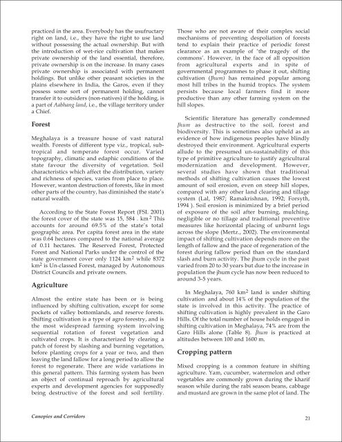
Shifting cultivation is a type of agro <strong>for</strong>estry, <strong>and</strong> is<br />
the most widespread farming system involving<br />
sequential rotation of <strong>for</strong>est vegetation <strong>and</strong><br />
cultivated crops. It is characterized by clearing a<br />
patch of <strong>for</strong>est by slashing <strong>and</strong> burning vegetation,<br />
be<strong>for</strong>e planting crops <strong>for</strong> a year or two, <strong>and</strong> then<br />
leaving the l<strong>and</strong> fallow <strong>for</strong> a long period to allow the<br />
<strong>for</strong>est to regenerate. There are wide variations in<br />
this general pattern. This farming system has been<br />
an object of continual reproach by agricultural<br />
experts <strong>and</strong> development agencies <strong>for</strong> supposedly<br />
being destructive of the <strong>for</strong>est <strong>and</strong> soil fertility.<br />
<strong>Canopies</strong> <strong>and</strong> <strong>Corridors</strong><br />
Those who are not aware of their complex social<br />
mechanisms of preventing despoliation of <strong>for</strong>ests<br />
tend to explain their practice of periodic <strong>for</strong>est<br />
clearance as an example of ‘the tragedy of the<br />
commons’. However, in the face of all opposition<br />
from agricultural experts <strong>and</strong> in spite of<br />
governmental programmes to phase it out, shifting<br />
cultivation (Jhum) has remained popular among<br />
most hill tribes in the humid tropics. The system<br />
persists because local farmers find it more<br />
productive than any other farming system on the<br />
hill slopes.<br />
Scientific literature has generally condemned<br />
Jhum as destructive to the soil, <strong>for</strong>est <strong>and</strong><br />
biodiversity. This is sometimes also upheld as an<br />
evidence of how indigenous peoples have blindly<br />
destroyed their environment. Agricultural experts<br />
allude to the presumed un-sustainability of this<br />
type of primitive agriculture to justify agricultural<br />
modernization <strong>and</strong> development. However,<br />
several studies have shown that traditional<br />
methods of shifting cultivation causes the lowest<br />
amount of soil erosion, even on steep hill slopes,<br />
compared with any other l<strong>and</strong> clearing <strong>and</strong> tillage<br />
system (Lal, 1987; Ramakrishnan, 1992; Forsyth,<br />
1994 ). Soil erosion is minimized by a brief period<br />
of exposure of the soil after burning, mulching,<br />
negligible or no tillage <strong>and</strong> traditional preventive<br />
measures like horizontal placing of unburnt logs<br />
across the slope (Mertz., 2002). The environmental<br />
impact of shifting cultivation depends more on the<br />
length of fallow <strong>and</strong> the pace of regeneration of the<br />
<strong>for</strong>est during fallow period than on the st<strong>and</strong>ard<br />
slash <strong>and</strong> burn activity. The jhum cycle in the past<br />
varied from 20 to 30 years but due to the increase in<br />
population the jhum cycle has now been reduced to<br />
around 3-5 years.<br />
In Meghalaya, 760 km 2 l<strong>and</strong> is under shifting<br />
cultivation <strong>and</strong> about 14% of the population of the<br />
state is involved in this activity. The practice of<br />
shifting cultivation is highly prevalent in the Garo<br />
Hills. Of the total number of house holds engaged in<br />
shifting cultivation in Meghalaya, 74% are from the<br />
Garo Hills alone (Table 8). Jhum is practiced at<br />
altitudes between 100 <strong>and</strong> 1600 m.<br />
Cropping pattern<br />
Mixed cropping is a common feature in shifting<br />
agriculture. Yam, cucumber, watermelon <strong>and</strong> other<br />
vegetables are commonly grown during the kharif<br />
season while during the rabi season beans, cabbage<br />
<strong>and</strong> mustard are grown in the same plot of l<strong>and</strong>. The<br />
21