Anexo IV – Inventario de Pasos de Frontera - CAF
Anexo IV – Inventario de Pasos de Frontera - CAF
Anexo IV – Inventario de Pasos de Frontera - CAF

You also want an ePaper? Increase the reach of your titles
YUMPU automatically turns print PDFs into web optimized ePapers that Google loves.
principales<br />
Carpeta <strong>de</strong><br />
rodado y<br />
estado<br />
Controles<br />
Migratorios<br />
<strong>Anexo</strong> <strong>IV</strong> - <strong>Inventario</strong> <strong>de</strong> <strong>Pasos</strong> <strong>de</strong> <strong>Frontera</strong><br />
Pavimentado, enripiado hasta Las<br />
Charitas y huella sin traza <strong>de</strong>finitiva hasta<br />
el limite internacional. Estado: Bueno en<br />
los tramos pavimentados, regular en el<br />
ripio..<br />
Gendarmería Nacional - Permanente.<br />
Horario las 24 horas.<br />
Tierra<br />
Policía Internacional<br />
Aduana<br />
Dirección General <strong>de</strong> aduanas.<br />
Permanente<br />
Seguridad Gendarmería Nacional <strong>–</strong> Sección Vinchina Carabineros<br />
Nombre <strong>de</strong>l<br />
Paso<br />
Países que<br />
vincula<br />
Localidad<br />
fronteriza<br />
Otras<br />
Localida<strong>de</strong>s<br />
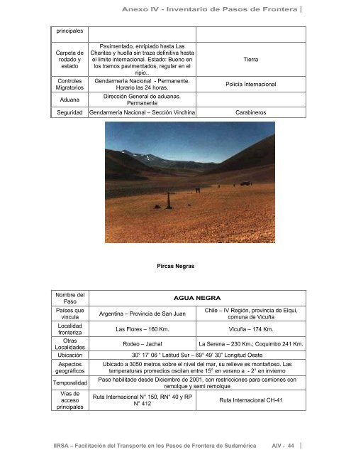
Pircas Negras<br />
Argentina <strong>–</strong> Provincia <strong>de</strong> San Juan<br />
AGUA NEGRA<br />
Chile <strong>–</strong> <strong>IV</strong> Región, provincia <strong>de</strong> Elqui,<br />
comuna <strong>de</strong> Vicuña<br />
Las Flores <strong>–</strong> 160 Km. Vicuña <strong>–</strong> 174 Km.<br />
Ro<strong>de</strong>o <strong>–</strong> Jachal La Serena <strong>–</strong> 230 Km.; Coquimbo 241 Km.<br />
Ubicación 30° 17’ 06 “ Latitud Sur <strong>–</strong> 69° 49’ 30” Longitud Oeste<br />
Aspectos<br />
geográficos<br />
Temporalidad<br />
Vías <strong>de</strong><br />
acceso<br />
principales<br />
Ubicado a 3050 metros sobre el nivel <strong>de</strong>l mar, su relieve es montañoso. Las<br />
temperaturas promedios oscilan entre 15° en verano a - 2° en invierno<br />
Paso habilitado <strong>de</strong>s<strong>de</strong> Diciembre <strong>de</strong> 2001, con restricciones para camiones con<br />
remolque y semi remolque<br />
Ruta Internacional N° 150, RN° 40 y RP<br />
N° 412<br />
Ruta Internacional CH-41<br />
IIRSA <strong>–</strong> Facilitación <strong>de</strong>l Transporte en los <strong>Pasos</strong> <strong>de</strong> <strong>Frontera</strong> <strong>de</strong> Sudamérica A<strong>IV</strong> - 44