therya-5_2
therya-5_2
therya-5_2

You also want an ePaper? Increase the reach of your titles
YUMPU automatically turns print PDFs into web optimized ePapers that Google loves.
AGE STRUCTURE AND REPRODUCTION IN WIEDOMYS PYRRHORHINOS<br />
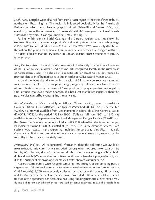
Study Area. Samples were obtained from the Caruaru region of the state of Pernambuco,<br />
northeastern Brazil (Fig. 1). This region is influenced geologically by the Planalto da<br />
Borborema, which determines orographic rainfall (Tabarelli and Santos 2004), and<br />
eventually favors the occurrence of “brejos de altitude”, evergreen rainforest islands<br />
surrounded by typical Caatinga (Andrade-Lima 2007; Fig. 1).<br />
Falling within the semi-arid Caatinga, the Caruaru region does not show the<br />
extreme climatic characteristics typical of this domain (Nimer 1979). Normals average<br />
(1930-1960) for annual rainfall was 511.8 mm (DNOCS 1972), seasonally distributed<br />
throughout the year in the typical autumn-winter pattern of the eastern region of Brazil.<br />
This data indicates that the dry season in Caruaru extends from September to January<br />
(Nimer 1979).<br />
Sampling Localities. The most detailed reference to the locality of collection is the name<br />
of the “sítio” (= site), a former land division still recognized locally in the rural areas<br />
of northeastern Brazil. The choice of a specific site for sampling was determined by<br />
previous detection of human cases of bubonic plague (Oliveira and Franco 2005).<br />
Around the focus site, all sites within a radius of 6 km were consecutively sampled<br />
in subsequent months. This sampling design, originally intended to allow detection<br />
of possible differences in the mammals’ compositions of plague positive and negative<br />
sites, eventually allowed the comparison of subsequent month frequencies without the<br />
putative bias caused by oversampling the same site.<br />
Rainfall Databases. Mean monthly rainfall and 30-year monthly means (normals) for<br />
Caruaru (Station PE-14-CARUARU, Rio Ipojuca Watershed, -8° 14’ 18’’ S, -35° 55’ 17’’<br />
W, elev. 557m) were available from Departamento Nacional de Obras Contra as Secas<br />
(DNOCS, 1972) for the period 1931 to 1960. Daily rainfall from 1951 to 1955 was<br />
available from the Departamento Nacional de Águas e Energia Elétrica (DNAEE) and<br />
the Divisão de Controle de Recursos Hídricos (DCRH), Ministério das Minas e Energia,<br />
Pluviometric station #835009, situated at -8° 17’ S, -35° 58’ W, elevation 545 m. Both<br />
stations were located in the region that includes the collecting sites (Fig. 1), outside<br />
Caruaru city limits, and are situated at the same general elevation, supporting the<br />
reliability of their data for the study area.<br />
Preparatory Analyses. All documented information about the collecting was available<br />
from individual file cards, which included, among other not used here, data on the<br />
locality of collection, date of capture and death, collector name, length of head-body<br />
(HB) and weight (W), sex and reproductive condition – for females if pregnant or not, and<br />
if so the number of embryos, and for males if testes showed vascularization.<br />
Records came from a wide range of sampling sites throughout the sampling period<br />
(Appendix). Of the total sample of Wiedomys pyrrhorhinos from the Caruaru region<br />
(2,395 records), 2,280 were actively collected by hand or with forceps, 31 by traps,<br />
and for 84 records the capture method was unrecorded. Because a relatively small<br />
fraction of the specimens has been obtained using trapping methods, almost exclusively<br />
during a different period from those obtained by active methods, to avoid possible bias<br />
512<br />
THERYA Vol.5(2): 509-534