Ontario's Natural Heritage Areas - Ministry of Natural Resources
Ontario's Natural Heritage Areas - Ministry of Natural Resources
Ontario's Natural Heritage Areas - Ministry of Natural Resources

Create successful ePaper yourself
Turn your PDF publications into a flip-book with our unique Google optimized e-Paper software.
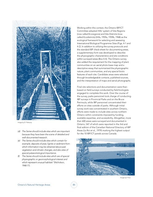
Image by D. Paleczny<br />
(d) The Series should include sites which are important<br />
because they have been the scene <strong>of</strong> detailed and<br />
well-documented research.<br />
(e) The Series should include sites which contain for<br />
example, deposits <strong>of</strong> peat, lignite or sediment from<br />
which information may be obtained about past<br />
vegetation and climatic changes, and also sites <strong>of</strong><br />
special palaeontological importance.<br />
(f) The Series should include sites which are <strong>of</strong> special<br />
physiographic or geomorphological interest and<br />
which represent unusual habitats” (Nicholson,<br />
1968:17).<br />
Ontario’s <strong>Natural</strong> <strong>Heritage</strong> <strong>Areas</strong> 84<br />
Working within this context, the Ontario IBP/CT<br />
Committee adopted Hills’ system <strong>of</strong> Site Regions<br />
(now called Ecoregions) and Site Districts (now<br />
called Ecodistricts) (Hills, 1959a, 1959b, 1968) as the<br />
ecological framework for selecting and assessing<br />
International Biological Programme Sites (Figs. 4-1 and<br />
4-2). In addition to utilizing the survey protocols and<br />
the standard IBP check-sheet for documenting areas,<br />
a supplementary form was developed to describe<br />
the physiographic characteristics and site conditions<br />
within surveyed areas (Box 4-4). The Ontario survey<br />
also added the requirement for the mapping <strong>of</strong> plant<br />
communities on an aerial photo base map and a<br />
descriptive essay that summarized the physiographic<br />
nature, plant communities, and any special biotic<br />
features <strong>of</strong> each site. Candidate areas were selected<br />
through knowledgeable contacts, published sources,<br />
and the interpretation <strong>of</strong> maps and aerial photographs.<br />
Final site selections and documentation were then<br />
based on field surveys conducted by field biologists<br />
engaged to complete this work. Over the course <strong>of</strong><br />
the survey, parks personnel took charge <strong>of</strong> conducting<br />
IBP surveys in Provincial Parks and on the Bruce<br />
Peninsula, while IBP personnel concentrated their<br />
efforts on sites outside <strong>of</strong> parks. Although initial<br />
survey work was concentrated in southern Ontario,<br />
efforts were made to include sites across northern<br />
Ontario within constraints imposed by funding,<br />
available expertise, and accessibility. Altogether, more<br />
than 600 areas were surveyed and documented in<br />
Ontario, 547 <strong>of</strong> which were reported in the 3rd and<br />
final edition <strong>of</strong> the Canadian National Directory <strong>of</strong> IBP<br />
<strong>Areas</strong> (La Roi et al., 1979) marking the highest output<br />
for the 10 IBP/CT panels across Canada.<br />
Image by P. Kor