Breagh Development - RWE.com
Breagh Development - RWE.com
Breagh Development - RWE.com

You also want an ePaper? Increase the reach of your titles
YUMPU automatically turns print PDFs into web optimized ePapers that Google loves.
<strong>Breagh</strong> Environmental Statement<br />
Section 2 – Proposed <strong>Development</strong><br />
It is anticipated that gas flow for the Phase I development will peak at 1,588 Msm 3 per year<br />
(annual average). The recoverable reserves for the Phase I development are estimated at<br />
15.4 Bscm. It is expected that no sand will be produced with the gas, however it is<br />
anticipated that condensate and water will be produced with the water content peaking in<br />
2013 before falling for the remainder of the field life.<br />
In summary, the development programme considered within this ES <strong>com</strong>prises:<br />
• Installation of the <strong>Breagh</strong> A NUI;<br />
• Installation of approximately 100km of 20” pipeline, 3” MEG line and fibre optic (FO)<br />
cable between the <strong>Breagh</strong> A NUI and Mean Low Water Springs (MLWS) at Teesside;<br />
• Drilling of 7 production wells;<br />
• Commissioning of the wells and facilities;<br />
• Production of gas and condensate.<br />
This ES addresses those activities regulated by the Department for Energy and Climate<br />
Change under The Offshore Petroleum Production and Pipe-lines (Assessment of<br />
Environmental Effects) Regulations 1999 and the Offshore Petroleum Production and Pipelines<br />
(assessment of Environmental Effects (Amendment) Regulations 2007, that is namely<br />
those associated with the offshore aspects of the <strong>Breagh</strong> development up to MLWS.<br />
2.2. Nature of the Reservoir<br />
The <strong>Breagh</strong> Gas Field is located in the UKCS Southern North Sea gas basin (Block 42/13)<br />
some 50 km from the North East coast of England. The field was discovered by exploration<br />
well 42/13-2 drilled in 60 m of water by Mobil in 1997. The well tested gas from sandstones<br />
of Visean age (Lower Carboniferous) below the Base Permian Unconformity between 7,300<br />
and 7,650 ft TVD. Table 2-1 shows the <strong>Breagh</strong> discovery and appraisal well history.<br />
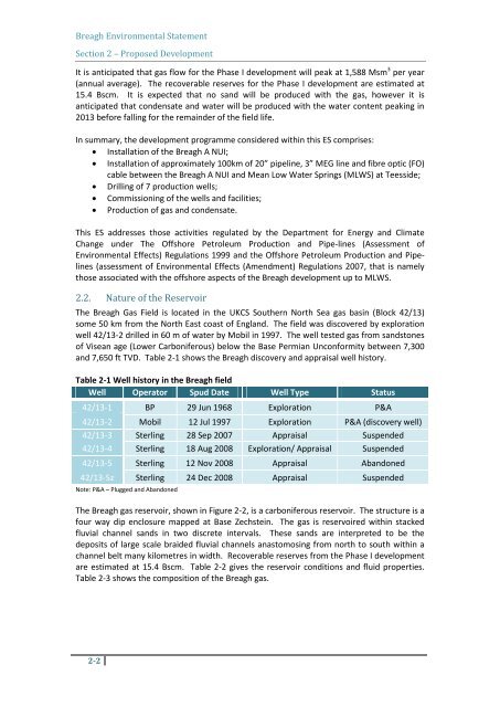
Table 2-1 Well history in the <strong>Breagh</strong> field<br />
Well Operator Spud Date Well Type Status<br />
42/13-1 BP 29 Jun 1968 Exploration P&A<br />
42/13-2 Mobil 12 Jul 1997 Exploration P&A (discovery well)<br />
42/13-3 Sterling 28 Sep 2007 Appraisal Suspended<br />
42/13-4 Sterling 18 Aug 2008 Exploration/ Appraisal Suspended<br />
42/13-5 Sterling 12 Nov 2008 Appraisal Abandoned<br />
42/13-5z Sterling 24 Dec 2008 Appraisal Suspended<br />
Note: P&A – Plugged and Abandoned<br />
The <strong>Breagh</strong> gas reservoir, shown in Figure 2-2, is a carboniferous reservoir. The structure is a<br />
four way dip enclosure mapped at Base Zechstein. The gas is reservoired within stacked<br />
fluvial channel sands in two discrete intervals. These sands are interpreted to be the<br />
deposits of large scale braided fluvial channels anastomosing from north to south within a<br />
channel belt many kilometres in width. Recoverable reserves from the Phase I development<br />
are estimated at 15.4 Bscm. Table 2-2 gives the reservoir conditions and fluid properties.<br />
Table 2-3 shows the <strong>com</strong>position of the <strong>Breagh</strong> gas.<br />
2-2