

Provisional Geologic Map of the Tintic Mountain - Utah Geological ...
Provisional Geologic Map of the Tintic Mountain - Utah Geological ...
Provisional Geologic Map of the Tintic Mountain - Utah Geological ...

You also want an ePaper? Increase the reach of your titles
YUMPU automatically turns print PDFs into web optimized ePapers that Google loves.
39°45'00"<br />
112°07'30"<br />
<strong>Map</strong>ped by Hannah,<br />
Cannan, and MacBeth<br />
1991–1992<br />
<strong>Map</strong>ped by Moore<br />
1991–1992<br />
Paul Bunyans<br />
Woodpile<br />
Sunrise<br />
Peak<br />
Bens Spring<br />
<strong>Tintic</strong> <strong>Mountain</strong><br />
<strong>Map</strong>ped by Keith and Moore<br />
1991–1992<br />
<strong>Map</strong>ped by Tingey<br />
1993<br />
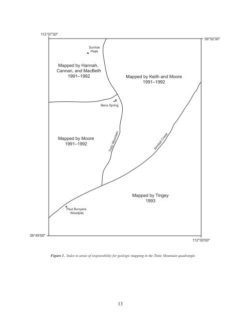
Figure 1. Index to areas <strong>of</strong> responsibility for geologic mapping in <strong>the</strong> <strong>Tintic</strong> <strong>Mountain</strong> quadrangle.<br />
13<br />
Kimball Creek<br />
112°00'00"<br />
39°52'30"


