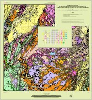
Provisional Geologic Map of the Tintic Mountain - Utah Geological ...
Provisional Geologic Map of the Tintic Mountain - Utah Geological ...
Provisional Geologic Map of the Tintic Mountain - Utah Geological ...
Create successful ePaper yourself
Turn your PDF publications into a flip-book with our unique Google optimized e-Paper software.
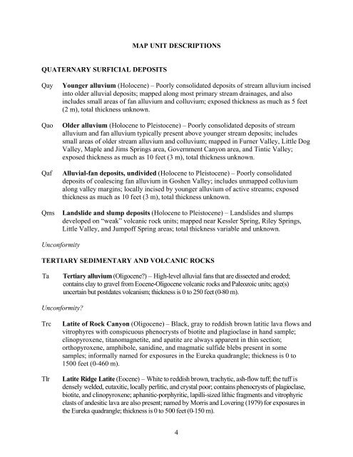
QUATERNARY SURFICIAL DEPOSITS<br />
MAP UNIT DESCRIPTIONS<br />
Qay Younger alluvium (Holocene) – Poorly consolidated deposits <strong>of</strong> stream alluvium incised<br />
into older alluvial deposits; mapped along most primary stream drainages, and also<br />
includes small areas <strong>of</strong> fan alluvium and colluvium; exposed thickness as much as 5 feet<br />
(2 m), total thickness unknown.<br />
Qao Older alluvium (Holocene to Pleistocene) – Poorly consolidated deposits <strong>of</strong> stream<br />
alluvium and fan alluvium typically present above younger stream deposits; includes<br />
small areas <strong>of</strong> older stream alluvium and colluvium; mapped in Furner Valley, Little Dog<br />
Valley, <strong>Map</strong>le and Jims Springs area, Government Canyon area, and <strong>Tintic</strong> Valley;<br />
exposed thickness as much as 10 feet (3 m), total thickness unknown.<br />
Qaf Alluvial-fan deposits, undivided (Holocene to Pleistocene) – Poorly consolidated<br />
deposits <strong>of</strong> coalescing fan alluvium in Goshen Valley; includes unmapped colluvium<br />
along valley margins; locally incised by younger alluvium <strong>of</strong> active streams; exposed<br />
thickness as much as 10 feet (3 m), total thickness unknown.<br />
Qms Landslide and slump deposits (Holocene to Pleistocene) – Landslides and slumps<br />
developed on “weak” volcanic rock units; mapped near Kessler Spring, Riley Springs,<br />
Little Valley, and Jump<strong>of</strong>f Spring areas; total thickness variable and unknown.<br />
Unconformity<br />
TERTIARY SEDIMENTARY AND VOLCANIC ROCKS<br />
Ta Tertiary alluvium (Oligocene?) – High-level alluvial fans that are dissected and eroded;<br />
contains clay to gravel from Eocene-Oligocene volcanic rocks and Paleozoic units; age(s)<br />
uncertain but postdates volcanism; thickness is 0 to 250 feet (0-80 m).<br />
Unconformity?<br />
Trc Latite <strong>of</strong> Rock Canyon (Oligocene) – Black, gray to reddish brown latitic lava flows and<br />
vitrophyres with conspicuous phenocrysts <strong>of</strong> biotite and plagioclase in hand sample;<br />
clinopyroxene, titanomagnetite, and apatite are always apparent in thin section;<br />
orthopyroxene, amphibole, sanidine, and magmatic sulfide blebs present in some<br />
samples; informally named for exposures in <strong>the</strong> Eureka quadrangle; thickness is 0 to<br />
1500 feet (0-460 m).<br />
Tlr Latite Ridge Latite (Eocene) – White to reddish brown, trachytic, ash-flow tuff; <strong>the</strong> tuff is<br />
densely welded, eutaxitic, locally perlitic, and crystal poor; contains phenocrysts <strong>of</strong> plagioclase,<br />
biotite, and clinopyroxene; aphanitic-porphyritic, lapilli-sized lithic fragments and vitrophyric<br />
clasts <strong>of</strong> andesitic lava are also present; named by Morris and Lovering (1979) for exposures in<br />
<strong>the</strong> Eureka quadrangle; thickness is 0 to 500 feet (0-150 m).<br />
4


