Bathymetry of Cannikin Lake, Amchitka Island, Alaska, with
Bathymetry of Cannikin Lake, Amchitka Island, Alaska, with
Bathymetry of Cannikin Lake, Amchitka Island, Alaska, with
Create successful ePaper yourself
Turn your PDF publications into a flip-book with our unique Google optimized e-Paper software.
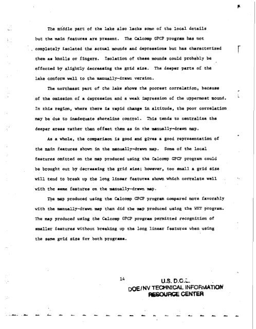
The middle part <strong>of</strong> the lake also lacks some <strong>of</strong> the local details<br />
but the main featurea are present. The Calcomp GPCP program has not<br />
. completely iaolated the actual mounds end depreeaionm but has characterized r<br />
them a. knolls or fingers. isolation <strong>of</strong> theae mound8 could probably be<br />
effected by slightly decreasing the grid nize. The deeper parts <strong>of</strong> the<br />
lake conform well to the manually-drawn version.<br />
The northeast part <strong>of</strong> the lake show the poorest correlation, because<br />
<strong>of</strong> the omission <strong>of</strong> a depreanion and a weak impression <strong>of</strong> the uppermost mound.<br />
In this region, where there i m rapid chunge In altitude, the poor correlation<br />
may be due to inadequate shoreline control. This tende to centralize the<br />
deeper areas rather than <strong>of</strong>fnet them as in the manually-drawn map.<br />
As a whole, the cornparibon is good and gives a good repreeentation <strong>of</strong><br />
the main features shown in the manually-drawn map. Some <strong>of</strong> the local<br />
features omitted on the map produced using the Calcomp GPCP program could<br />
be brought out by decreaming the grid size; hawever, too small a grid size<br />
will tend to break up the long linerr featurea shown which correlate well<br />
<strong>with</strong> the name features on the manually-drawn map.<br />
The map produced using the Calcomp GPCP program compared more favorably<br />
<strong>with</strong> the manually-drawn map than did the mrp produced using the WET program.<br />
The map produced using the Calcomp GPCP program permitted recognition <strong>of</strong><br />
smaller features <strong>with</strong>our breaking up the long linear features when using<br />
the same grid size for both programs.<br />
14<br />
US. D.O.L.<br />
D ~ I N TECHN~CAL V<br />
INFOF~T~AYION<br />
~ R ( X . G E ~<br />
P'<br />
L<br />
.<br />
.F


