mapinfomag_spring200..
mapinfomag_spring200..
mapinfomag_spring200..
Create successful ePaper yourself
Turn your PDF publications into a flip-book with our unique Google optimized e-Paper software.
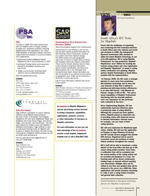
PSA<br />
Founded in 1988, PSA works hand-in-hand<br />
with the MapInfo team to design, develop<br />
& deploy your enterprise solutions, including<br />
MapInfo-based PDA applications. Our unique<br />
PSAP Database & Boundary Solution has been<br />
implemented successfully in numerous wireless<br />
9-1-1 applications.<br />
• Experienced (really!) MapBasic ® , MapX ® ,<br />
MapXtreme ® , VB, & Java Developers on staff.<br />
• Authorized Training Center and customized<br />
training for all MapInfo products, your<br />
site or ours.<br />
• Single source provider including Oracle/<br />
Informix, and U.S./International Data.<br />
PSA, the experienced choice.<br />
Contact:<br />
PSA, Inc.<br />
4545 Fuller Drive, Suite 416<br />
Irving, TX 75038<br />
Tel: 972.791.0911<br />
Fax: 972.717.9099<br />
E-mail: sales@psadallas.com<br />
www.psadallas.com<br />
Sage Software<br />
Sage Software specializes in custom software<br />
solutions using MapInfo based products.<br />
We have a team of developers that integrate<br />
MapXtreme (NT and Java), MapMarker MapX, and<br />
MapBasic with Active Server Pages, Java Server<br />
Pages, Java Servlets, and Visual Basic. We have<br />
also entered the wireless arena with MapInfo's<br />
MapXtend technologies. Sage Software is also<br />
an Authorized Training Center for MapInfo with<br />
locations in Atlanta and Orlando. We offer on-site<br />
mentoring for all MapInfo related products as well<br />
as full-life cycle development.<br />
Visit our web site at www.sagesoft.com or<br />
call 1.877.848.SAGE.<br />
Contact:<br />
Sage Software, Inc.<br />
3423 Piedmont Road<br />
Suite 550<br />
Atlanta, GA 30305<br />
Tel: 404.262.7478<br />
Toll Free: 877.848.SAGE<br />
info@sagesoft.com<br />
Transamerica Site Acquisition<br />
Reports (SARs)<br />
Telecommunications Support from Transamerica<br />
Transamerica is now offering a new service<br />
that provides instant property information for<br />
Site Planning, Tower Construction, Antenna<br />
Co-Location and Tower Network Design.<br />
The SARs provide accurate geographic<br />
placement of towers or target sites combined<br />
with detailed critical site property information.<br />
These reports include assessor parcel maps,<br />
current property ownership information,<br />
parcel number identification and flood zone<br />
determinations all in one affordable and<br />
comprehensive report. Deed information can<br />
also be provided as an optional service based<br />
on geographic area. SARs can be delivered in<br />
electronic or hard copy format.<br />
Call for more information. Mention this ad for<br />
a free report!<br />
Contact:<br />
Matt Benden, Director of Product Development<br />
Transamerica Flood Hazard Certification, Inc.<br />
777 Terrace Avenue<br />
Hasbrouck Heights, NJ 07604<br />
Toll Free: 800.247.3384, x4717<br />
E-mail: Matt.Benden@transamerica.com<br />
re:sources is MapInfo Magazine’s<br />
special advertising section devoted<br />
to listing companies’ capabilities,<br />
applications, products, services<br />
or other information of relevance to<br />
MapInfo customers.<br />
For more information on how you can<br />
take advantage of the re:sources<br />
section, e-mail mapinfo_magazine@<br />
mapinfo.com or call 1.518.285.7342.<br />
viewpoint: EMEA<br />
By David Swinburne<br />
South Africa’s IEC Votes<br />
for MapInfo<br />
Faced with the challenges of organizing<br />
and conducting the first municipal elections<br />
in South Africa since the national and provincial<br />
elections in 1999, the Independent<br />
Electoral Commission (IEC) decided to<br />
utilize the latest MapInfo technology as one<br />
of its GIS platforms. IEC is using MapInfo<br />
Professional ® for map production, MapInfo ®<br />
MapXtreme ® JavaTM Edition for locating the<br />
nearest voting station and voter registration<br />
and MapInfo ® MapXtend TM<br />
to assist in voting<br />
station verification and updating. MapInfo<br />
partner, Spatial Technologies in South Africa,<br />
assisted with the implementation.<br />
“In February 2000, the IEC made a strategic<br />
decision to move away from proprietary<br />
GIS database technology and to store the<br />
vast amounts of data that is utilized in<br />
planning and delivering election efficiencies<br />
in an open GIS format,” said Melanie du<br />
Plessis, manger of GIS at IEC. “The operational<br />
capabilities of MapInfo Professional<br />
interfacing with the Oracle8i platform<br />
were very impressive for the particular<br />
task evaluated at the time.”<br />
Since implementing MapInfo, IEC has<br />
substantially improved efficiency gains<br />
in producing maps of voting districts.<br />
Although the concept has been applied<br />
before, MapInfo played an important role<br />
in providing voters with improved access<br />
to election information. Internet users,<br />
for example, can see maps of their<br />
voting districts.<br />
IEC will soon implement its MapXtend application.<br />
Initially, IEC will test the application<br />
on Huskies (a large Windows CE device)<br />
and HP Jornada devices plugged into Garmin<br />
GPS devices. MapXtend will be used to<br />
accurately record the positions of voting<br />
station positions throughout the country.<br />
IEC’s staff will be able to download a voting<br />
district at the local office and then go to the<br />
actual voting station location. Once there,<br />
a verification form will be completed and<br />
the actual position of the voting station will<br />
be recorded and displayed on a map. The<br />
tracking point will be shown continuously<br />
loading maps on demand without requiring<br />
user intervention. Multiple sites can be<br />
visited at one time and updated data will be<br />
returned to the server via a GSM link. Other<br />
applications will include boundary streaming<br />
to verify or plot a voting station boundary<br />
and general data collection.<br />
David Swinburne is European marketing<br />
director for MapInfo Corporation.<br />
SPRING 2001 MAPINFO MAGAZINE<br />
www.mapinfo.com/magazine<br />
13


