Geologic And Hydrologic Factors Governing ... - Gunnison County
Geologic And Hydrologic Factors Governing ... - Gunnison County
Geologic And Hydrologic Factors Governing ... - Gunnison County
You also want an ePaper? Increase the reach of your titles
YUMPU automatically turns print PDFs into web optimized ePapers that Google loves.
<strong>Geologic</strong> <strong>And</strong> <strong>Hydrologic</strong> <strong>Factors</strong> <strong>Governing</strong> Impacts Of Development<br />
On The Crystal River Near Marble, Colorado<br />
<strong>Gunnison</strong> <strong>County</strong>, Colorado<br />
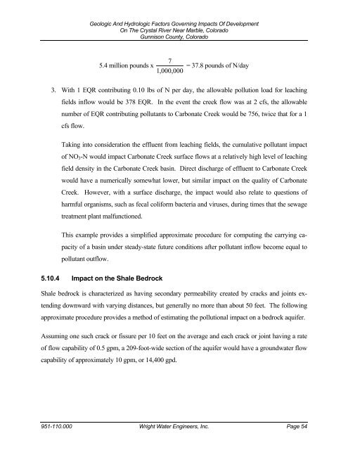
5.4 million pounds x<br />
7<br />
1, 000, 000<br />
= 37.8 pounds of N/day<br />
3. With 1 EQR contributing 0.10 lbs of N per day, the allowable pollution load for leaching<br />
fields inflow would be 378 EQR. In the event the creek flow was at 2 cfs, the allowable<br />
number of EQR contributing pollutants to Carbonate Creek would be 756, twice that for a 1<br />
cfs flow.<br />
Taking into consideration the effluent from leaching fields, the cumulative pollutant impact<br />
of NO3-N would impact Carbonate Creek surface flows at a relatively high level of leaching<br />
field density in the Carbonate Creek basin. Direct discharge of effluent to Carbonate Creek<br />
would have a numerically somewhat lower, but similar impact on the quality of Carbonate<br />
Creek. However, with a surface discharge, the impact would also relate to questions of<br />
harmful organisms, such as fecal coliform bacteria and viruses, during times that the sewage<br />
treatment plant malfunctioned.<br />
This example provides a simplified approximate procedure for computing the carrying ca-<br />
pacity of a basin under steady-state future conditions after pollutant inflow become equal to<br />
pollutant outflow.<br />
5.10.4 Impact on the Shale Bedrock<br />
Shale bedrock is characterized as having secondary permeability created by cracks and joints ex-<br />
tending downward with varying distances, but generally no more than about 50 feet. The following<br />
approximate procedure provides a method of estimating the pollutional impact on a bedrock aquifer.<br />
Assuming one such crack or fissure per 10 feet on the average and each crack or joint having a rate<br />
of flow capability of 0.5 gpm, a 209-foot-wide section of the aquifer would have a groundwater flow<br />
capability of approximately 10 gpm, or 14,400 gpd.<br />
951-110.000 Wright Water Engineers, Inc. Page 54


