Exhibit B (Sandco Response) - Leon County
Exhibit B (Sandco Response) - Leon County
Exhibit B (Sandco Response) - Leon County

Create successful ePaper yourself
Turn your PDF publications into a flip-book with our unique Google optimized e-Paper software.
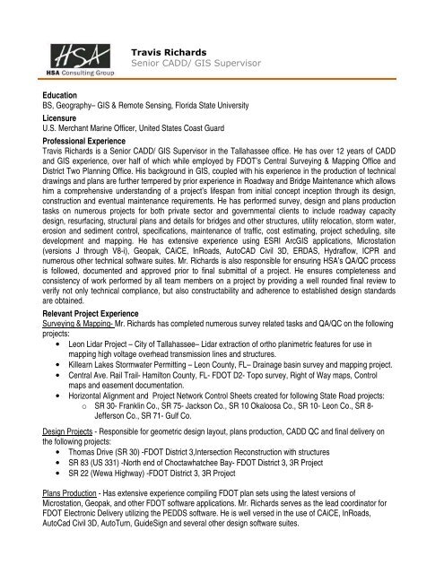
Travis Richards<br />
Senior CADD/ GIS Supervisor<br />
Education<br />
BS, Geography– GIS & Remote Sensing, Florida State University<br />
Licensure<br />
U.S. Merchant Marine Officer, United States Coast Guard<br />
Professional Experience<br />
Travis Richards is a Senior CADD/ GIS Supervisor in the Tallahassee office. He has over 12 years of CADD<br />
and GIS experience, over half of which while employed by FDOT’s Central Surveying & Mapping Office and<br />
District Two Planning Office. His background in GIS, coupled with his experience in the production of technical<br />
drawings and plans are further tempered by prior experience in Roadway and Bridge Maintenance which allows<br />
him a comprehensive understanding of a project’s lifespan from initial concept inception through its design,<br />
construction and eventual maintenance requirements. He has performed survey, design and plans production<br />
tasks on numerous projects for both private sector and governmental clients to include roadway capacity<br />
design, resurfacing, structural plans and details for bridges and other structures, utility relocation, storm water,<br />
erosion and sediment control, specifications, maintenance of traffic, cost estimating, project scheduling, site<br />
development and mapping. He has extensive experience using ESRI ArcGIS applications, Microstation<br />
(versions J through V8-i), Geopak, CAiCE, InRoads, AutoCAD Civil 3D, ERDAS, Hydraflow, ICPR and<br />
numerous other technical software suites. Mr. Richards is also responsible for ensuring HSA’s QA/QC process<br />
is followed, documented and approved prior to final submittal of a project. He ensures completeness and<br />
consistency of work performed by all team members on a project by providing a well rounded final review to<br />
verify not only technical compliance, but also constructability and adherence to established design standards<br />
are obtained.<br />
Relevant Project Experience<br />
Surveying & Mapping- Mr. Richards has completed numerous survey related tasks and QA/QC on the following<br />
projects:<br />
• <strong>Leon</strong> Lidar Project – City of Tallahassee– Lidar extraction of ortho planimetric features for use in<br />
mapping high voltage overhead transmission lines and structures.<br />
• Killearn Lakes Stormwater Permitting – <strong>Leon</strong> <strong>County</strong>, FL– Drainage basin survey and mapping project.<br />
• Central Ave. Rail Trail- Hamilton <strong>County</strong>, FL- FDOT D2- Topo survey, Right of Way maps, Control<br />
maps and easement documentation.<br />
• Horizontal Alignment and Project Network Control Sheets created for following State Road projects:<br />
o SR 30- Franklin Co., SR 75- Jackson Co., SR 10 Okaloosa Co., SR 10- <strong>Leon</strong> Co., SR 8-<br />
Jefferson Co., SR 71- Gulf Co.<br />
Design Projects - Responsible for geometric design layout, plans production, CADD QC and final delivery on<br />
the following projects:<br />
• Thomas Drive (SR 30) -FDOT District 3,Intersection Reconstruction with structures<br />
• SR 83 (US 331) -North end of Choctawhatchee Bay- FDOT District 3, 3R Project<br />
• SR 22 (Wewa Highway) -FDOT District 3, 3R Project<br />
Plans Production - Has extensive experience compiling FDOT plan sets using the latest versions of<br />
Microstation, Geopak, and other FDOT software applications. Mr. Richards serves as the lead coordinator for<br />
FDOT Electronic Delivery utilizing the PEDDS software. He is well versed in the use of CAiCE, InRoads,<br />
AutoCad Civil 3D, AutoTurn, GuideSign and several other design software suites.