The benthic ecology and community structure in Lyttelton Harbour ...
The benthic ecology and community structure in Lyttelton Harbour ...
The benthic ecology and community structure in Lyttelton Harbour ...
Create successful ePaper yourself
Turn your PDF publications into a flip-book with our unique Google optimized e-Paper software.
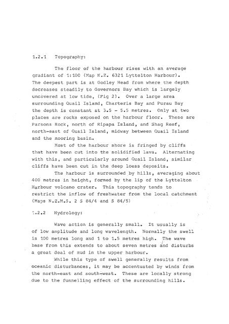
1.2.1 Topography:<br />
<strong>The</strong> floor of the harbour rises with an averags<br />
gradiant of 1:100 (Map N.Z. 6321 <strong>Lyttelton</strong> <strong>Harbour</strong>).<br />
<strong>The</strong> deepest part is at Godley Head from where the depth<br />
decreases steadily to Governo~s<br />
Bay which is largely<br />
uncovered at low tide, (Fig 2). Over a large area<br />
surround<strong>in</strong>g Quail Isl<strong>and</strong>, Charteris Bay <strong>and</strong> Purau Bay<br />
the depth is constant at 3.5 - 5.5 metres. Only at. two<br />
places are rocks exposed on the harbour floor. <strong>The</strong>se are<br />
Parsons Rock, north of Ripapa Isl<strong>and</strong>, <strong>and</strong> Shag Reef,<br />
north~east<br />
<strong>and</strong> the moor<strong>in</strong>g bas<strong>in</strong>.<br />
of Quail Isl<strong>and</strong>, midway between Quail Isl<strong>and</strong><br />
Most of the harbour shore is fr<strong>in</strong>ged by cliffs<br />
that have been cut <strong>in</strong>to the solidified lava.<br />
Alternat<strong>in</strong>g<br />
with this, <strong>and</strong> particularly around Quail Isl<strong>and</strong>, similar<br />
cliffs have been cut <strong>in</strong> the deep loess deposits.<br />
<strong>The</strong> harbour is surrounded.by hills, averag<strong>in</strong>g about<br />
400 metres <strong>in</strong> height, formed by the lip of the <strong>Lyttelton</strong><br />
<strong>Harbour</strong> volcano crater. This topography tends to<br />
restrict the <strong>in</strong>flow of freshwater from the local catchment<br />
(Maps NoZ.M.Se 2 S 84/4 <strong>and</strong> S 84/5)<br />
Hydrology:<br />
Wave action is generally small.<br />
of low amplitude <strong>and</strong> long wavelength.<br />
It usually is<br />
Normally the swell<br />
is 100 metres long <strong>and</strong> 1 to 1.5 metres high. ~he wave<br />
; j'<br />
base from this extends to about seven metres <strong>and</strong> disturbs<br />
a great deal of mud <strong>in</strong> the upper harbour.<br />
While this type of swell generally results from<br />
oceanic disturbances, it may be accentuated by w<strong>in</strong>ds from<br />
the north-east <strong>and</strong> south~west.<br />
<strong>The</strong>se are locally strong<br />
due to the funnell<strong>in</strong>g effect of the surround<strong>in</strong>g hills.


