The benthic ecology and community structure in Lyttelton Harbour ...
The benthic ecology and community structure in Lyttelton Harbour ...
The benthic ecology and community structure in Lyttelton Harbour ...
You also want an ePaper? Increase the reach of your titles
YUMPU automatically turns print PDFs into web optimized ePapers that Google loves.
25.<br />
SECTION 3<br />
FAUNA<br />
3.1 INTRODUCTION<br />
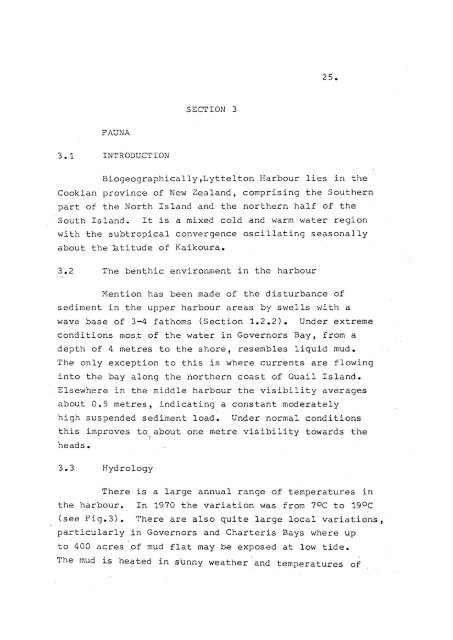
Biogeographically,<strong>Lyttelton</strong> <strong>Harbour</strong> lies <strong>in</strong> the<br />
Cbokian prov<strong>in</strong>ce of New Zeal<strong>and</strong>, compris<strong>in</strong>g the Southern<br />
part of the North Isl<strong>and</strong> <strong>and</strong> the northern half of the<br />
South Isl<strong>and</strong>.<br />
It is a mixed cold <strong>and</strong> warm water region<br />
'with the subtropical convergence oscillat<strong>in</strong>g seasonally<br />
about the~Btitude<br />
of Kaikoura.<br />
3.2 <strong>The</strong> ben~hic environment <strong>in</strong> the harbour<br />
Mention has been made of the disturbance of<br />
sediment <strong>in</strong> the upper harbour areas by swells with a<br />
wave base of 3-4 fathoms (Section 1.2.2). Under extreme<br />
conditions most of the water'<strong>in</strong> Governors Bay, from a<br />
depth of 4 metres to the shore, resembles liquid mud.<br />
<strong>The</strong> only exception to this is where currents are flow<strong>in</strong>g<br />
<strong>in</strong>to the bay along the northern coast of Quail Isl<strong>and</strong>.<br />
Elsewhere <strong>in</strong> the middle harbour the visibility averages<br />
about 0.5 metres, <strong>in</strong>dicat<strong>in</strong>g a constant moderately<br />
high suspended sediment load.<br />
Under normal conditions<br />
this improves to about one metre visibility towards the<br />
I<br />
heads.<br />
3.3 Hydrology<br />
<strong>The</strong>re is a large annual range of temperatures <strong>in</strong><br />
the harbour. In 1970 the variation was from 70C to 19 0 C<br />
(see Fig.3). <strong>The</strong>re are also quite large local variations,<br />
particularly <strong>in</strong> Governors <strong>and</strong> Charteris' Bays where up<br />
to 400 acres of mud flat may be exposed at low tide.<br />
Th~ mud is heated <strong>in</strong> sunny weather '<strong>and</strong> ~emperatures of


