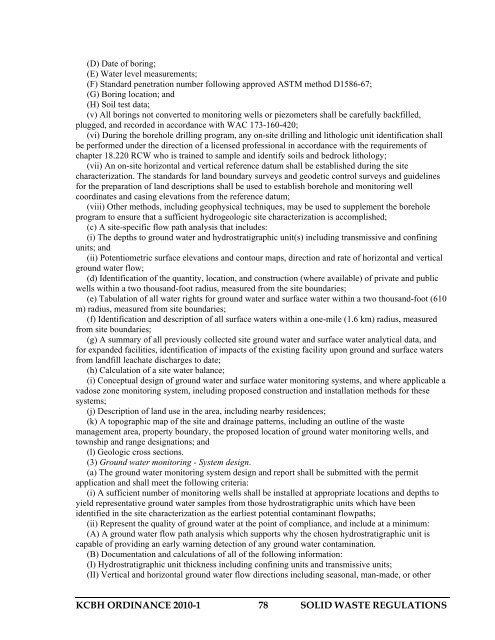
SOLID WASTE REGULATIONS - Kitsap Public Health District
SOLID WASTE REGULATIONS - Kitsap Public Health District
SOLID WASTE REGULATIONS - Kitsap Public Health District

Create successful ePaper yourself
Turn your PDF publications into a flip-book with our unique Google optimized e-Paper software.
(D) Date of boring;<br />
(E) Water level measurements;<br />
(F) Standard penetration number following approved ASTM method D1586-67;<br />
(G) Boring location; and<br />
(H) Soil test data;<br />
(v) All borings not converted to monitoring wells or piezometers shall be carefully backfilled,<br />
plugged, and recorded in accordance with WAC 173-160-420;<br />
(vi) During the borehole drilling program, any on-site drilling and lithologic unit identification shall<br />
be performed under the direction of a licensed professional in accordance with the requirements of<br />
chapter 18.220 RCW who is trained to sample and identify soils and bedrock lithology;<br />
(vii) An on-site horizontal and vertical reference datum shall be established during the site<br />
characterization. The standards for land boundary surveys and geodetic control surveys and guidelines<br />
for the preparation of land descriptions shall be used to establish borehole and monitoring well<br />
coordinates and casing elevations from the reference datum;<br />
(viii) Other methods, including geophysical techniques, may be used to supplement the borehole<br />
program to ensure that a sufficient hydrogeologic site characterization is accomplished;<br />
(c) A site-specific flow path analysis that includes:<br />
(i) The depths to ground water and hydrostratigraphic unit(s) including transmissive and confining<br />
units; and<br />
(ii) Potentiometric surface elevations and contour maps, direction and rate of horizontal and vertical<br />
ground water flow;<br />
(d) Identification of the quantity, location, and construction (where available) of private and public<br />
wells within a two thousand-foot radius, measured from the site boundaries;<br />
(e) Tabulation of all water rights for ground water and surface water within a two thousand-foot (610<br />
m) radius, measured from site boundaries;<br />
(f) Identification and description of all surface waters within a one-mile (1.6 km) radius, measured<br />
from site boundaries;<br />
(g) A summary of all previously collected site ground water and surface water analytical data, and<br />
for expanded facilities, identification of impacts of the existing facility upon ground and surface waters<br />
from landfill leachate discharges to date;<br />
(h) Calculation of a site water balance;<br />
(i) Conceptual design of ground water and surface water monitoring systems, and where applicable a<br />
vadose zone monitoring system, including proposed construction and installation methods for these<br />
systems;<br />
(j) Description of land use in the area, including nearby residences;<br />
(k) A topographic map of the site and drainage patterns, including an outline of the waste<br />
management area, property boundary, the proposed location of ground water monitoring wells, and<br />
township and range designations; and<br />
(l) Geologic cross sections.<br />
(3) Ground water monitoring - System design.<br />
(a) The ground water monitoring system design and report shall be submitted with the permit<br />
application and shall meet the following criteria:<br />
(i) A sufficient number of monitoring wells shall be installed at appropriate locations and depths to<br />
yield representative ground water samples from those hydrostratigraphic units which have been<br />
identified in the site characterization as the earliest potential contaminant flowpaths;<br />
(ii) Represent the quality of ground water at the point of compliance, and include at a minimum:<br />
(A) A ground water flow path analysis which supports why the chosen hydrostratigraphic unit is<br />
capable of providing an early warning detection of any ground water contamination.<br />
(B) Documentation and calculations of all of the following information:<br />
(I) Hydrostratigraphic unit thickness including confining units and transmissive units;<br />
(II) Vertical and horizontal ground water flow directions including seasonal, man-made, or other<br />
KCBH ORDINANCE 2010-1 78 <strong>SOLID</strong> <strong>WASTE</strong> <strong>REGULATIONS</strong>