

philips catalogue 2008 - British Cartographic Society
philips catalogue 2008 - British Cartographic Society
philips catalogue 2008 - British Cartographic Society

Create successful ePaper yourself
Turn your PDF publications into a flip-book with our unique Google optimized e-Paper software.
Autumn <strong>2008</strong><br />
£30.00 HB<br />
978 0 540 09255 0<br />
336 x 252mm<br />
320 pages<br />
Still available:<br />
Previous edition<br />
978 0 540 09014 3<br />
£30.00<br />
Autumn <strong>2008</strong><br />
£8.99 PB<br />
978 0 540 09258 1<br />
235 x 156mm<br />
216 pages<br />
Still available:<br />
Previous edition<br />
978 0 540 08893 5<br />
£8.99<br />
Philip’s World Travel Atlas<br />
This compact paperback atlas contains an informative<br />
56-page travel section, which includes maps of world time<br />
zones and climate, together with major air routes around<br />
the globe and a distance table, plus a gazetteer for<br />
150 of the world’s most notable countries, with key<br />
information for travellers on currencies, languages,<br />
medical advice and international telephone dialling codes,<br />
plus other useful travel hints. A selection of 24 city plans<br />
completes the travel section, arranged in alphabetical<br />
order for easy reference. The 96 pages of physically<br />
coloured maps are accompanied by a 64-page letter-figure<br />
index listing all major towns and cities, plus numerous<br />
geographical features such as mountains, rivers and lakes.<br />
TRAVEL ATLASES<br />
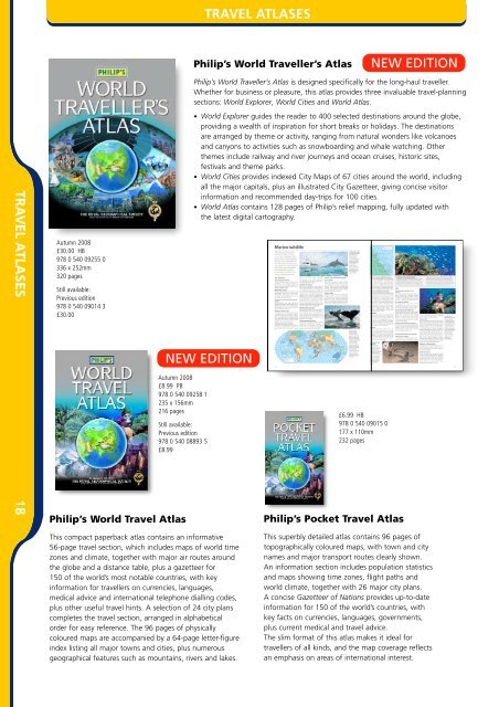
Philip’s World Traveller’s Atlas<br />
Philip’s World Traveller’s Atlas is designed specifically for the long-haul traveller.<br />
Whether for business or pleasure, this atlas provides three invaluable travel-planning<br />
sections: World Explorer, World Cities and World Atlas.<br />
• World Explorer guides the reader to 400 selected destinations around the globe,<br />
providing a wealth of inspiration for short breaks or holidays. The destinations<br />
are arranged by theme or activity, ranging from natural wonders like volcanoes<br />
and canyons to activities such as snowboarding and whale watching. Other<br />
themes include railway and river journeys and ocean cruises, historic sites,<br />
festivals and theme parks.<br />
• World Cities provides indexed City Maps of 67 cities around the world, including<br />
all the major capitals, plus an illustrated City Gazetteer, giving concise visitor<br />
information and recommended day-trips for 100 cities.<br />
• World Atlas contains 128 pages of Philip’s relief mapping, fully updated with<br />
the latest digital cartography.<br />
NEW EDITION<br />
£6.99 HB<br />
978 0 540 09015 0<br />
177 x 110mm<br />
232 pages<br />
Philip’s Pocket Travel Atlas<br />
NEW EDITION<br />
This superbly detailed atlas contains 96 pages of<br />
topographically coloured maps, with town and city<br />
names and major transport routes clearly shown.<br />
An information section includes population statistics<br />
and maps showing time zones, flight paths and<br />
world climate, together with 26 major city plans.<br />
A concise Gazetteer of Nations provides up-to-date<br />
information for 150 of the world’s countries, with<br />
key facts on currencies, languages, governments,<br />
plus current medical and travel advice.<br />
The slim format of this atlas makes it ideal for<br />
travellers of all kinds, and the map coverage reflects<br />
an emphasis on areas of international interest.