

philips catalogue 2008 - British Cartographic Society
philips catalogue 2008 - British Cartographic Society
philips catalogue 2008 - British Cartographic Society

Create successful ePaper yourself
Turn your PDF publications into a flip-book with our unique Google optimized e-Paper software.
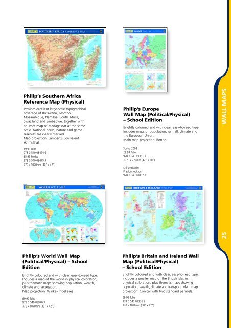
Philip’s Southern Africa<br />
Reference Map (Physical)<br />
P rovides excellent large-scale topographical<br />
coverage of Botswana, Lesotho,<br />
Mozambique, Namibia, South Africa,<br />
Swaziland and Zimbabwe, together with<br />
an inset map of Madagascar at the same<br />
scale. National parks, nature and game<br />
reserves are clearly marked.<br />
Map projection: Lambert’s Equivalent<br />
Azimuthal.<br />
£9.99 Tube<br />
978 0 540 08474 6<br />
£5.99 Folded<br />
978 0 540 08475 3<br />
770 x 1070mm (30” x 42“)<br />
Philip’s World Wall Map<br />
(Political/Physical) – School<br />
Edition<br />
Brightly coloured and with clear, easy-to-read type.<br />
Includes a map of the world in physical coloration,<br />
plus thematic maps showing population, wealth,<br />
climate and vegetation.<br />
Map projection: Wi n k e l - Tripel are a .<br />
£9.99 Tube<br />
978 0 540 08970 3<br />
770 x 1070mm (30” x 42“)<br />
Philip’s Europe<br />
Wall Map (Political/Physical)<br />
– School Edition<br />
Brightly coloured and with clear, easy-to-read type.<br />
Includes maps of population, rainfall, climate and<br />
the European Union.<br />
Main map projection: Bonne.<br />
Spring <strong>2008</strong><br />
£9.99 Tube<br />
978 0 540 09351 9<br />
1070 x 770mm (42” x 30“)<br />
Still available:<br />
Previous edition<br />
978 0 540 08802 7<br />
Philip’s Britain and Ireland Wall<br />
Map (Political/Physical)<br />
– School Edition<br />
Brightly coloured and with clear, easy-to-read type.<br />
Includes a smaller map of the <strong>British</strong> Isles in<br />
physical coloration, plus thematic maps showing<br />
population, wealth, climate and transport. Main map<br />
projection: Conical with two standard parallels.<br />
£9.99 Tube<br />
978 0 540 09236 9<br />
770 x 1070mm (30” x 42“)