programme tuesday, july, 31 - Université de Caen Basse Normandie
programme tuesday, july, 31 - Université de Caen Basse Normandie
programme tuesday, july, 31 - Université de Caen Basse Normandie
You also want an ePaper? Increase the reach of your titles
YUMPU automatically turns print PDFs into web optimized ePapers that Google loves.
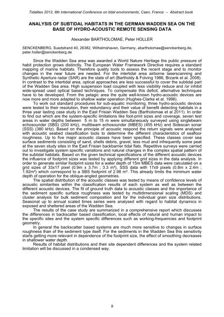
Tidalites 2012, 8th International Conference on tidal environments, <strong>Caen</strong>, France – Abstract book<br />
ANALYSIS OF SUBTIDAL HABITATS IN THE GERMAN WADDEN SEA ON THE<br />
BASE OF HYDRO-ACOUSTIC REMOTE SENSING DATA<br />
Alexan<strong>de</strong>r BARTHOLOMAE, Peter HOLLER<br />
SENCKENBERG, Suedstrand 40, 26382, Wilhelmshaven, Germany, abartholomae@senckenberg.<strong>de</strong>,<br />
peter.holler@senckenberg.<strong>de</strong><br />
Since the Wad<strong>de</strong>n Sea area was awar<strong>de</strong>d a World Nature Heritage the public pressure of<br />
habit protection grows distinctly. The European Water Framework Directive requires a standard<br />
mapping of marine habitats. Therefore quality tools to assess the recent stage and to monitor<br />
changes in the near future are nee<strong>de</strong>d. For the intertidal area airborne laserscanning and<br />
Synthetic Aperture radar (SAR) are the state of art (Bartholdy & Folving 1986, Brzank et al. 2008).<br />
In contrast to the intertidal area, optical approaches are less successful to cover the subtidal part<br />
of the Wad<strong>de</strong>n Sea area. High suspension load coupled with less visibility reduce and /or inhibit<br />
wi<strong>de</strong>-spread used optical based techniques. To compensate this <strong>de</strong>ficit, alternative techniques<br />
have to be <strong>de</strong>veloped. From the pelagic area the quite well-known hydro-acoustic <strong>de</strong>vices are<br />
now more and more adapted to shallow water operation (Hughes-Clarke et al. 1996).<br />
To work out standard procedures for sub-aquatic monitoring, three hydro-acoustic <strong>de</strong>vices<br />
were tested to their resolution, their redundancy and their value of benefit <strong>de</strong>tecting habitats in a<br />
three year lasting case study in the East Frisian Wad<strong>de</strong>n Sea (Bartholomae et al 2011). In or<strong>de</strong>r<br />
to find out which are the system-specific limitations like foot-print sizes and coverage, seven test<br />
areas in water <strong>de</strong>pths between 5 m to 15 m were simultaneously surveyed using singlebeam<br />
echosoun<strong>de</strong>r (SBS) (200 kHz), multibeam echosoun<strong>de</strong>r (MBES) (455 kHz) and Si<strong>de</strong>scan sonar<br />
(SSS) (380 kHz). Based on the principle of acoustic respond the return signals were analysed<br />
with acoustic seabed classification tools to <strong>de</strong>termine the different characteristics of seafloor<br />
roughness. Up to five major acoustic classes have been specified. These classes cover sea<br />
surface sediments consisting of sand, shells <strong>de</strong>bris, gravel, less mud and infrequently some peat<br />
at the seven study sites in the East Frisian backbarrier tidal flats. Repetitive surveys were carried<br />
out to investigate system specific variations and natural changes in the complex spatial pattern of<br />
the subtidal habitats. Based on the given technical specifications of the different acoustic <strong>de</strong>vices<br />
the influence of footprint sizes was tested by applying different grid sizes in the data analysis. In<br />
or<strong>de</strong>r to generate similar footprint sizes for a water <strong>de</strong>pth of 15m MBES data were calculated on a<br />
grid sizes of 33x17 pixel (0.9m x 3.7m ; 3.3 m²), SSS data with 17x9 pixels (0.8m x 2.4m ;<br />
1.92m²) which correspond to a SBS footprint of 2.98 m². This already limits the minimum water<br />
<strong>de</strong>pth of operation for the oblique-angled geometries.<br />
The spatial distribution of the acoustic classes was tested by means of confi<strong>de</strong>nce levels of<br />
acoustic similarities within the classification results of each system as well as between the<br />
different acoustic <strong>de</strong>vices. The fit of ground truth data to acoustic classes and the importance of<br />
the sediment specific surface roughness was tested by multidimensional scaling (MDS) and<br />
cluster analysis for bulk sediment composition and for the individual grain size distributions.<br />
Seasonal up to annual scaled times series were analysed with regard to habitat dynamics in<br />
exposed and sheltered areas of the Wad<strong>de</strong>n Sea.<br />
The results of the case study are summarized in a comprehensive report which discusses<br />
the differences in backscatter based classification, local effects of natural and human impact to<br />
the specific sites and the system specific differences such as working-frequencies and footprint<br />
geometry.<br />
In general the backscatter based systems are much more sensitive to changes in surface<br />
roughness than of the sediment type itself. For the sediments in the Wad<strong>de</strong>n Sea this sensitivity<br />
starts getting more relevant in <strong>de</strong>pen<strong>de</strong>nce of the footprint size, the effect of smoothing <strong>de</strong>creases<br />
in shallower water <strong>de</strong>pth.<br />
Results of habitat distributions and their site <strong>de</strong>pen<strong>de</strong>nt differences and the system related<br />
limitation will be discussed in a con<strong>de</strong>nsed way.<br />
9


