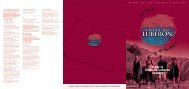
guide to outdoor activities 2009-2010 - South of France Tourism
guide to outdoor activities 2009-2010 - South of France Tourism
guide to outdoor activities 2009-2010 - South of France Tourism

Create successful ePaper yourself
Turn your PDF publications into a flip-book with our unique Google optimized e-Paper software.
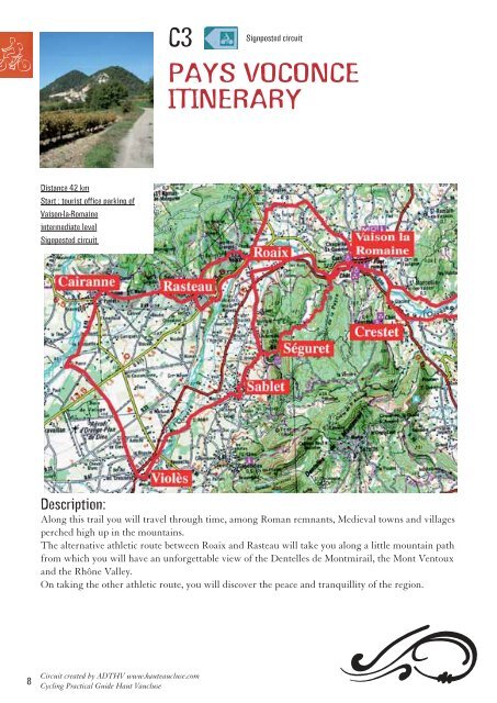
Signposted circuit<br />
C3<br />
PAYS VOCONCE<br />
ITINERARY<br />
Distance 42 km<br />
Start : <strong>to</strong>urist <strong>of</strong>fice parking <strong>of</strong><br />
Vaison-la-Romaine<br />
intermediate level<br />
Signposted circuit<br />
Description:<br />
Along this trail you will travel through time, among Roman remnants, Medieval <strong>to</strong>wns and villages<br />
perched high up in the mountains.<br />
The alternative athletic route between Roaix and Rasteau will take you along a little mountain path<br />
from which you will have an unforgettable view <strong>of</strong> the Dentelles de Montmirail, the Mont Ven<strong>to</strong>ux<br />
and the Rhône Valley.<br />
On taking the other athletic route, you will discover the peace and tranquillity <strong>of</strong> the region.<br />
8<br />
Circuit created by ADTHV www.hautvaucluse.com<br />
Cycling Practical Guide Haut Vaucluse