a technical guide for conducting pedestrian safety assessments
a technical guide for conducting pedestrian safety assessments
a technical guide for conducting pedestrian safety assessments

You also want an ePaper? Increase the reach of your titles
YUMPU automatically turns print PDFs into web optimized ePapers that Google loves.
26 A TECHNICAL GUIDE FOR CONDUCTING PEDESTRIAN SAFETY ASSESSMENTS FOR CALIFORNIA CITIES<br />
E. Windshield Audit<br />
During a Windshield Audit, roadway and <strong>pedestrian</strong> conditions are observed<br />
while driving through the Focus Area(s). This method is appropriate <strong>for</strong> Focus<br />
Areas that are geographically dispersed and/or too large to observe on foot.<br />
It also provides an important view of the Focus Areas from the driver’s<br />
perspective. Tables 5 and 6 should be followed throughout the driving tour<br />
as applicable.<br />
Materials Required: Walking Audit Checklist, Windshield Audit Route Map and<br />
driving directions, aerial photograph <strong>for</strong> each Focus Area, clipboards, pens,<br />
post-its, camera, measuring tape or wheel, <strong>safety</strong> vests, vehicle(s)<br />
Potential Participants: In addition to the potential participants <strong>for</strong> the standard Walking Audit, a non-participant driver<br />
should be identified <strong>for</strong> each vehicle. Ideally, all participants travel in the same vehicle to facilitate group discussions<br />
during the Audit.<br />
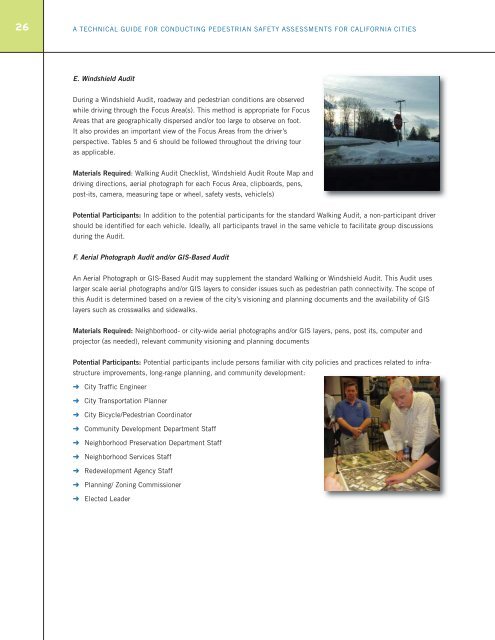
F. Aerial Photograph Audit and/or GIS-Based Audit<br />
An Aerial Photograph or GIS-Based Audit may supplement the standard Walking or Windshield Audit. This Audit uses<br />
larger scale aerial photographs and/or GIS layers to consider issues such as <strong>pedestrian</strong> path connectivity. The scope of<br />
this Audit is determined based on a review of the city’s visioning and planning documents and the availability of GIS<br />
layers such as crosswalks and sidewalks.<br />
Materials Required: Neighborhood- or city-wide aerial photographs and/or GIS layers, pens, post its, computer and<br />
projector (as needed), relevant community visioning and planning documents<br />
Potential Participants: Potential participants include persons familiar with city policies and practices related to infrastructure<br />
improvements, long-range planning, and community development:<br />
➜ City Traffic Engineer<br />
➜ City Transportation Planner<br />
➜ City Bicycle/Pedestrian Coordinator<br />
➜ Community Development Department Staff<br />
➜ Neighborhood Preservation Department Staff<br />
➜ Neighborhood Services Staff<br />
➜ Redevelopment Agency Staff<br />
➜ Planning/ Zoning Commissioner<br />
➜ Elected Leader