Isatis - Geovariances
Isatis - Geovariances
Isatis - Geovariances

Create successful ePaper yourself
Turn your PDF publications into a flip-book with our unique Google optimized e-Paper software.
ISATIS<br />
NEWS<br />
The Uniiverse<br />
Of Geostatiistiics<br />
Support<br />
support @geovariances.com<br />
Discover the new features of <strong>Isatis</strong> 4.0<br />
Import or Export your data in batch mode<br />
Run easily your import / export applications in batch:<br />
importing or exporting tasks may now be integrated in<br />
journal files just like for any other <strong>Isatis</strong> panel.<br />
Even better: all the data exchange interfaces are now<br />
available on Windows NT/2000/XP.<br />
Exchange your wells, surfaces, 3D grids,<br />
polygons or faults between <strong>Isatis</strong> and Gocad<br />
Gocad V2, developed by T-SURF (Nancy), now<br />
offers a direct read/write access to the <strong>Isatis</strong> database.<br />
Krige data or compute Volumetrics inside 2D<br />
or 3D Polygons<br />
More tools and flexibility in the handling of polygons in<br />
the new Polygon Editor: new algorithms for polygon<br />
consistency, intersection of polygons, management of<br />
polygons with holes, etc. have been added whilst the<br />
Polygon Display module enables the visualization of<br />
kriged results in combination with input data.<br />
Global estimation is now included: you can krige<br />
variables on complex objects that can be described<br />
with 2D or 3D polygons.<br />
In addition: Polygons are also taken into account in<br />
the Volumetrics application. Statistics or risk curves<br />
may be computed polygon by polygon or on the entire<br />
grid.<br />
Help Desk<br />
support@geovariances.com<br />
or call +33 (0)1 60 74 91 00<br />
… “You could give some other<br />
companies some lessons on how to<br />
provide technical support” …<br />
ANADARKO, UK<br />
… “Thank you very much for your<br />
prompt and useful answer” …<br />
PDVSA, VENEZUELA<br />
… “It’s a real pleasure to work<br />
together and to use <strong>Isatis</strong>” …<br />
ENTERPRISE OIL, UK<br />
3<br />
Transform your geometry from structural to<br />
stratigraphic system<br />
A dedicated new application has been designed for<br />
folding and unfolding of block systems: switch<br />
between the original depositional reference system and<br />
today's (X,Y,Z) coordinate system.<br />
Among other handy improvements:<br />
* Read and write ASCII files in CSV format (Comma<br />
Separated Values): data exchanges are definitely far<br />
much easier;<br />
* View Labels are now attached to graphic windows:<br />
give a title, add a note or specify parameters values in<br />
your views;<br />
* Measure distances and angles directly in most <strong>Isatis</strong><br />
graphic windows;<br />
* Use the Calculator more efficiently: save series of<br />
transformations in template files in order to use them<br />
again later on. Creating selection variables has also<br />
been added in this panel.<br />
Complete list of <strong>Isatis</strong> V4 features<br />
on www.geovariances.com<br />
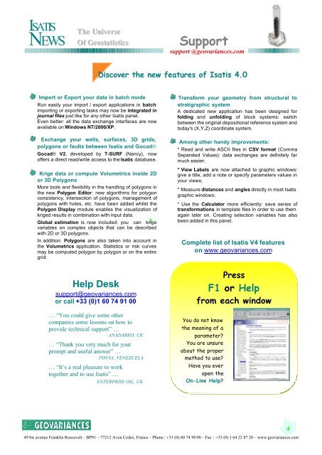
Press<br />
F1 or Help<br />
from each window<br />
You do not know<br />
the meaning of a<br />
parameter<br />
You are unsure<br />
about the proper<br />
method to use<br />
Have you ever<br />
open the<br />
On-Line Help<br />
49 bis avenue Franklin Roosevelt – BP91 – 77212 Avon Cedex, France – Phone : +33 (0) 60 74 90 90 – Fax : +33 (0) 1 64 22 87 28 – www.geovariances.com<br />
4