

CBA SMA\SMA 1983.PDF - Council for British Archaeology
CBA SMA\SMA 1983.PDF - Council for British Archaeology
CBA SMA\SMA 1983.PDF - Council for British Archaeology

Create successful ePaper yourself
Turn your PDF publications into a flip-book with our unique Google optimized e-Paper software.
7<br />
chimney alcove attached to the east, which may have been <strong>for</strong> spit<br />
roasting. Within the main room was a series of large clunch ovens,<br />
one of which used the 'tank' as an ash pit, with the largest and<br />
latest sealing the 'tank' with paving slabs. A building was added<br />
to the north which has been interpreted as a scullery; dwarf stone<br />
walls supported a timber superstructure. Steps led down from the<br />
scullery to the west fishpond, which must have been a convenient<br />
dumping place <strong>for</strong> slops. An extension was built to the south of<br />
the kitchen which contained another oven. The cooking capacity must<br />
have been quite sufficient to cope with the influx of people during<br />
royal visits.<br />
The chimney to the east end of the kitchen was walled up and<br />
replaced by a semi-circular structure with a cobbled floor seated<br />
on a make-up of dumped clay. This may have been a second, possibly<br />
later, dovecote. Probably contemporary with it, and to the north,<br />
was a well-preserved carstone kiln, filled in with soft mortar after<br />
use. The end of its flue was cut by a sand quarry containing 15th<br />
century pottery. This quarry also cut through the garderobe drain,<br />
which probably flowed into the north fishpond.<br />
Work on the outlying parts of the site has revealed a cobbled<br />
roadway running along the south-east side of the field system. It<br />
was separated from the cultivated areas by a drainage ditch taking<br />
the water running off the higher ground, and a gully which may have<br />
been a boundary ditch. No dating evidence was found <strong>for</strong> the road,<br />
but it may have been servicing the 16th century manor house in the<br />
next field.<br />
Two plat<strong>for</strong>ms lying to the east of the road have been investigated.<br />
They proved to be not the expected house plat<strong>for</strong>ms or raised<br />
areas in a flooded part, but a top soil dump and a 1960s compost<br />
heap dated by a vehicle registration plate.<br />
Excavation is continuing with a view to completing the main<br />
buildings and examining all remaining sensitive areas within the<br />
bounds of the quarry take in the next eighteen months.<br />
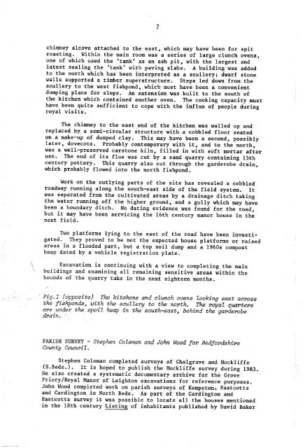
Pig.1 (opposite) The kitchens and clunch ovens Zooking east across<br />
the fiShponds, with the scullery to the north. The royal quarters<br />
are under the spoiZ heap in the south-east, behind the garderobe<br />
drain.<br />
PARISH SURVEY - Stephen Coleman and John Wood <strong>for</strong> Bed<strong>for</strong>dshire<br />
County <strong>Council</strong>.<br />
Stephen Coleman completed surveys of Chalgrave and Hockliffe<br />
(S.Beds.). It is hoped to publish the Hockliffe survey during 1983.<br />
He also created a systematic documentary archive <strong>for</strong> the Grove<br />
Priory/Royal Manor of Leighton excavations <strong>for</strong> reference purposes.<br />
John Wood completed work on parish surveys of Kempston, Eastcotts<br />
and Cardington in North Beds. As part of the Cardington and<br />
Eastcotts survey it was possible to locate all the houses mentioned<br />
in the 18th century Listing of inhabitants published by David Baker


