
Create successful ePaper yourself
Turn your PDF publications into a flip-book with our unique Google optimized e-Paper software.
CM<br />
WP<br />
ME<br />
HA<br />
AP<br />
LG<br />
EP<br />
CS<br />
IN<br />
EL<br />
AV<br />
TO<br />
PS<br />
BV<br />
754<br />
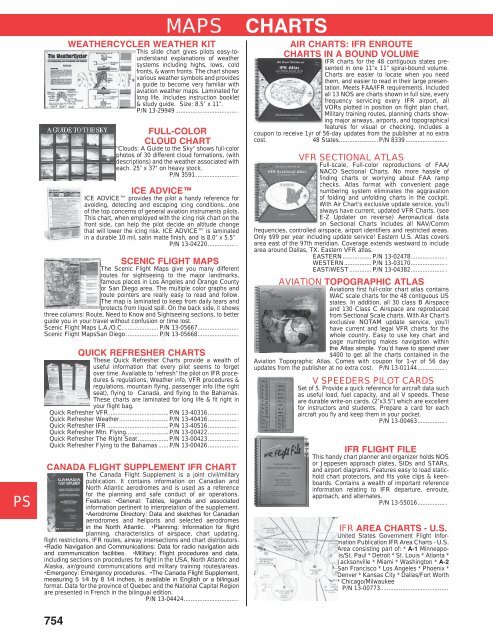
WEATHERCYCLER WEATHER KIT<br />
This slide chart gives pilots easy-tounderstand<br />
explanations of weather<br />
systems including highs, lows, cold<br />
fronts, & warm fronts. The chart shows<br />
various weather symbols and provides<br />
a guide to become very familiar with<br />
aviation weather maps. Laminated for<br />
long life. Includes instruction booklet<br />
& study guide. Size: 8.5” x 11”.<br />
P/N 13-29949 .....................................<br />
MAPS CHARTS<br />
FULL-COLOR<br />
CLOUD CHART<br />
“Clouds: A Guide to the Sky” shows full-color<br />
photos of 30 different cloud formations, (with<br />
descriptions) and the weather associated with<br />
each. 25” x 37” on heavy stock.<br />
P/N 3591 .........................<br />
ICE ADVICE<br />
ICE ADVICE provides the pilot a handy reference for<br />
avoiding, detecting and escaping icing conditions...one<br />
of the top concerns of general aviation instruments pilots.<br />
This chart, when employed with the icing risk chart on the<br />
front side, can help the pilot decide an altitude change<br />
that will lower the icing risk. ICE ADVICE is laminated<br />
in a durable 10 mil, satin matte finish, and is 8.0” x 5.5”<br />
P/N 13-04220................ .<br />
SCENIC FLIGHT MAPS<br />
The Scenic Flight Maps give you many different<br />
routes for sightseeing to the major landmarks,<br />
famous places in Los Angeles and Orange County<br />
or San Diego area. The multiple color graphs and<br />
route pointers are really easy to read and follow.<br />
The map is laminated to keep from daily tears and<br />
protects from liquid spill. On the back side, it shows<br />
three columns: Route, Need to Know and Sightseeing sections, to better<br />
guide you in your travel without confusion or time lost.<br />
Scenic Flight Maps L.A./O.C. .................... P/N 13-05667........................<br />
Scenic Flight MapsSan Diego ................... P/N 13-05668........................<br />
QUICK REFRESHER CHARTS<br />
These Quick Refresher Charts provide a wealth of<br />
useful information that every pilot seems to forget<br />
over time. Available to “refresh” the pilot on IFR procedures<br />
& regulations, Weather info, VFR procedures &<br />
regulations, mountain flying, passenger info (the right<br />
seat), flying to Canada, and flying to the Bahamas.<br />
These charts are laminated for long life & fit right in<br />
your flight bag.<br />
Quick Refresher VFR ...................................P/N 13-40316..................<br />
Quick Refresher Weather.............................P/N 13-40416..................<br />
Quick Refresher IFR ....................................P/N 13-40516..................<br />
Quick Refresher Mtn. Flying.........................P/N 13-00422..................<br />
Quick Refresher The Right Seat ..................P/N 13-00423..................<br />
Quick Refresher Flying to the Bahamas ......P/N 13-00426..................<br />
CANADA FLIGHT SUPPLEMENT IFR CHART<br />
The Canada Flight Supplement is a joint civil/military<br />
publication. It contains information on Canadian and<br />
North Atlantic aerodromes and is used as a reference<br />
for the planning and safe conduct of air operations.<br />
Features: •General: Tables, legends and associated<br />
information pertinent to interpretation of the supplement.<br />
•Aerodrome Directory: Data and sketches for Canadian<br />
aerodromes and heliports and selected aerodromes<br />
in the North Atlantic. •Planning: Information for flight<br />
planning, characteristics of airspace, chart updating,<br />
flight restrictions, IFR routes, airway intersections and chart distributors.<br />
•Radio Navigation and Communications: Data for radio navigation aids<br />
and communication facilities. •Military: Flight procedures and data,<br />
including sections on procedures for flight in the USA, North Atlantic and<br />
Alaska, air/ground communications and military training routes/areas.<br />
•Emergency: Emergency procedures. •The Canada Flight Supplement,<br />
measuring 5 1⁄4 by 8 1⁄4 inches, is available in English or a bilingual<br />
format. Data for the province of Quebec and the National Capital Region<br />
are presented in French in the bilingual edition.<br />
P/N 13-04424................................<br />
AIR CHARTS: IFR ENROUTE<br />
CHARTS IN A BOUND VOLUME<br />
IFR charts for the 48 contiguous states presented<br />
in one 11”x 11” spiral-bound volume.<br />
Charts are easier to locate when you need<br />
them, and easier to read in their large presentation.<br />
Meets FAA/IFR requirements. Included<br />
all 13 NOS are charts shown in full size, every<br />
frequency servicing every IFR airport, all<br />
VORs plotted in position on flight plan chart,<br />
Military training routes, planning charts showing<br />
major airways, airports, and topographical<br />
features for visual or checking. Includes a<br />
coupon to receive 1yr of 56-day updates from the publisher at no extra<br />
cost. 48 States.......................P/N 8339 ....................... .<br />
VFR SECTIONAL ATLAS<br />
Full-scale, Full-color reproductions of FAA/<br />
NACO Sectional Charts. No more hassle of<br />
finding charts or worrying about FAA ramp<br />
checks. Atlas format with convenient page<br />
numbering system eliminates the aggravation<br />
of folding and unfolding charts in the cockpit.<br />
With Air Chart’s exclusive update service, you’ll<br />
always have current, updated VFR Charts. (see<br />
E-Z Updater on reverse) Aeronautical data<br />
on Sectional Charts includes all NAV/Comm<br />
frequencies, controlled airspace, airport identifiers and restricted areas.<br />
Only $99 per year including update service! Eastern U.S. Atlas covers<br />
area east of the 97th meridian. Coverage extends westward to include<br />
area around Dallas, TX. Eastern VFR atlas.<br />
EASTERN................. P/N 13-02478.................... .<br />
WESTERN ................ P/N 13-03170.................... .<br />
EAST/WEST ............. P/N 13-04382.................... .<br />
AVIATION TOPOGRAPHIC ATLAS<br />
Aviations first full-color chart atlas contains<br />
WAC scale charts for the 48 contiguous US<br />
states. In addition, all 30 class B Airspace<br />
and 130 Class C Airspace are reproduced<br />
from Sectional Scale charts. With Air Chart’s<br />
exclusive NOTAM update service, you’ll<br />
have current and legal VFR charts for the<br />
whole country. Easy to use key chart and<br />
page numbering makes navigation within<br />
the Atlas simple. You’d have to spend over<br />
$400 to get all the charts contained in the<br />
Aviation Topographic Atlas. Comes with coupon for 1-yr of 56 day<br />
updates from the publisher at no extra cost. P/N 13-01144.................<br />
V SPEEDERS PILOT CARDS<br />
Set of 5. Provide a quick reference for aircraft data such<br />
as useful load, fuel capacity, and all V speeds. These<br />
are durable write-on cards. (2”x3.5”) which are excellent<br />
for instructors and students. Prepare a card for each<br />
aircraft you fly and keep them in your pocket.<br />
P/N 13-00463................ .<br />
IFR FLIGHT FILE<br />
This handy chart planner and organizer holds NOS<br />
or Jeppesen approach plates, SIDs and STARs,<br />
and airport diagrams. Features easy to load statichold<br />
chart protectors, and fits yoke clips & keenboards.<br />
Contains a wealth of important reference<br />
information relating to IFR departure, enroute,<br />
approach, and alternates.<br />
P/N 13-55016................ .<br />
IFR AREA CHARTS - U.S.<br />
United States Government Flight Information<br />
Publication IFR Area Charts - U.S.<br />
Area consisting part of: * A-1 Minneapolis/St.<br />
Paul * Detroit * St. Louis * Atlanta *<br />
Jacksonville * Miami * Washington * A-2<br />
San Francisco * Los Angeles * Phoenix *<br />
Denver * Kansas City * Dallas/Fort Worth<br />
* Chicago/Milwaukee<br />
P/N 13-00773........................................