- Page 2 and 3: THE UNIVERSITY OF HONG KONGLIBRARY
- Page 5: Map of the Territory of Hong Kong S
- Page 9 and 10: PageA.8 Engineering Geology Map 111
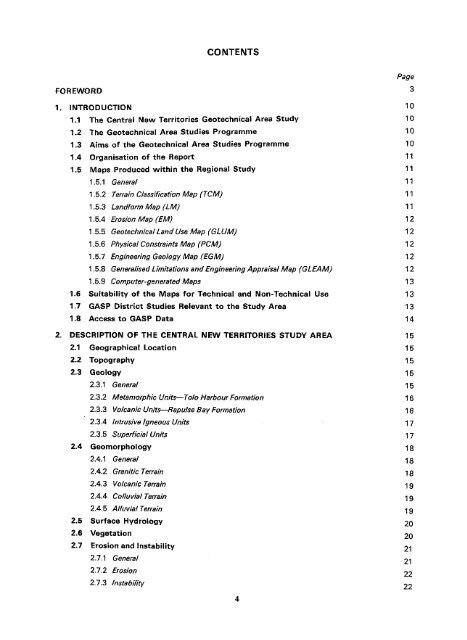
- Page 11 and 12: List of FiguresFigure TitlePage1 Lo
- Page 13 and 14: 1.1.1 The Centra! New Territories G
- Page 15 and 16: 1.5.4 Erosion Map (EM)This map is t
- Page 17 and 18: Table 1.3 GLUM Classes and Landslip
- Page 19 and 20: The geological boundaries for the b
- Page 21 and 22: (a) Volcanic coiluvium (Cv)—This
- Page 23 and 24: The most common occurrence of this
- Page 25 and 26: Areas subject to erosion are classi
- Page 27 and 28: SquattersSquatters appear to be loc
- Page 29 and 30: 3. ASSESSMENT OF3.1 Description and
- Page 31 and 32: material density but undisturbed sa
- Page 33 and 34: Table 3.1Description and Evaluation
- Page 35 and 36: As with the volcanic rocks, the fre
- Page 37 and 38: The steep terrain and thin weathere
- Page 40 and 41: Reference should be made to the Geo
- Page 42 and 43: Area 6Area 7Area 8Area 9Tai Mo Shan
- Page 44 and 45: The area is entirely underlain by v
- Page 46 and 47: Approximately 5% of the terrain has
- Page 48 and 49: Most of the ridgecrest terrain fall
- Page 50 and 51: 5.The findings reached during the C
- Page 52 and 53: 6.Addison, R. (1986). Geology of Sh
- Page 54: So, C. L (1971). Mass movements ass
- Page 57 and 58:
~?m^^iz$$m&' f ; v> ;,'2r„' •;
- Page 59 and 60:
CLASS IV (26.0%) /UNCLASSIFIED (2.0
- Page 61 and 62:
F F A R Rx, v v R R flv A >- ( R R
- Page 63 and 64:
4?s*-# ••*••••• #rf
- Page 65 and 66:
+ + ® m+ *-*=[_! 5-Bailie]*;*- + *
- Page 67 and 68:
O)44 • • •4 • 4 • +++ •
- Page 70 and 71:
I1 Fig. 1Location map ofthe Central
- Page 72 and 73:
W TP flj? W-fi I OIM INUIIixTYa-n'
- Page 74 and 75:
Scale1:20 000Example of the Geotech
- Page 76 and 77:
Scale1.20 000Example of the Physica
- Page 78 and 79:
Scale1:20 000Example of the Enginee
- Page 80 and 81:
Scale1:20 000Example of the General
- Page 82 and 83:
Example of the Landform Map (LM)Sca
- Page 84:
Scale1:20 000Example of the Erosion
- Page 87 and 88:
Plate 2.Oblique Aerial Photograph L
- Page 89 and 90:
Plate 4. Oblique Aerial Photograph
- Page 92 and 93:
Plate 6.Oblique Aerial Photograph o
- Page 94 and 95:
Plate 8.Oblique Aerial Photograph o
- Page 96 and 97:
Plate 10. Low Level Oblique Aerial
- Page 98 and 99:
Plate 12. Ridgecrest Erosion on the
- Page 100 and 101:
1 S';: ; f -;,Plate 14.Low Volcanic
- Page 102 and 103:
Plate 16.Upper Sideslope and Ridgec
- Page 104 and 105:
BBBBI BHHH........ ... :,.;, • Il
- Page 106 and 107:
AOF EVALUATION ASSOCIATED TECHNIQUE
- Page 108 and 109:
GeneralisedLimitations andEngineeri
- Page 110 and 111:
In this study, all the footsSope an
- Page 112 and 113:
A.7 Geotechrsical Land Use MapThe G
- Page 114 and 115:
(b) Records of a limited amount of
- Page 116 and 117:
A.9 Generalised Limitations and Eng
- Page 118 and 119:
Table A4Criteria for Initial Assess
- Page 120 and 121:
The information presented in the GL
- Page 122 and 123:
APPENDIX BTableDATA TABLES FOR THE
- Page 124 and 125:
Table B4 Aspect and Slope GradientA
- Page 126 and 127:
Table B8Geology and GLUM ClassGeolo
- Page 128 and 129:
Table B10Slope Gradient, Aspect Geo
- Page 130 and 131:
Table B12Existing Land Use (From ae
- Page 132 and 133:
cINFORMATIONPageC.1 Description of
- Page 134 and 135:
Jointing within this rock type is u
- Page 136 and 137:
6040Marine deposit - sands, silts a
- Page 139 and 140:
The rock is pale grey or pink when
- Page 141 and 142:
Within Tide Cove itself, this basal
- Page 143 and 144:
of Reports4 - 6per §riil black hel
- Page 145 and 146:
RAINFALL(mm)ro14s*en c33Q)CD3O 3339
- Page 147 and 148:
Table C2Selection of Aerial Photogr
- Page 149 and 150:
DOF AND CHARACTERISTICS ONIN HONG K
- Page 151 and 152:
The more randomly oriented, smoothe
- Page 153 and 154:
ROCKMASSCHARACTERISTICSJOINTSFAULTS
- Page 155 and 156:
D.2.5FaultsA fault is a fracture in
- Page 157 and 158:
(e) Basements—these require tanki
- Page 159 and 160:
(iv) S/te InvestigationIn heterogen
- Page 161 and 162:
D.3.11Site InvestigationA 'desk stu
- Page 163 and 164:
Irregularities in slope profile can
- Page 165 and 166:
CHUNAMCement-lime stabilised soil u
- Page 167 and 168:
INCISED DRAINAGE CHANNELTerrain com
- Page 169 and 170:
SHEETING JOINTDiscontinuity produce
- Page 171 and 172:
This book is due for return or rene


