part 1 - EuroAfrica-ICT
part 1 - EuroAfrica-ICT
part 1 - EuroAfrica-ICT
Create successful ePaper yourself
Turn your PDF publications into a flip-book with our unique Google optimized e-Paper software.
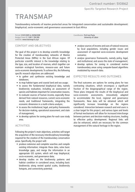
Transboundery networks of marine protected areas for integrated conservation and sustainable development:biophysical, socio-economic and governance assessment in East AfricaPeriod: 01/01/2005 to 30/06/2008Budget from EC: EUR 1 700 000website: www.transmap.fc.ul.ptCoordinator: Prof José PaulaUniversity of LisbonThe goal of this project is to develop scientific knowledgefor the creation of transboundary networks of MarineProtected Areas (MPAs) in the East African region. Of<strong>part</strong>icular scientific interest is the knowledge relating tothe type, size, and location of reserves, which together canmaintain ecological functions, resource-uses and futuresocio-economic developments. To achieve this, the followingspecific research objectives are addressed: databases; biodiversity evaluation, including an assessment ofspecies and habitats important for conservation reasons; derived from natural resources, current socio-economicneeds, and traditional frameworks, integrating theeconomic dimension in a multi-criteria analysis; for decision-making, operational assessment, and stateof management; area. by local populations, including gender issues andassessment of expected socio-economic developmentscenarios; and institutional, and assess the state of management; transboundary areas using computer-based algorithmsmodulated by research data.The final outcomes are options for zoning plans for twocontrasting situations, which encompass a significantfraction of the biogeographical range of the region.These plans integrate the results of the biophysical andsocio-economic assessments, innovatively adaptedto accommodate the local, regional and governanceframeworks. New data will be obtained which willsignificantly increase knowledge on the regionsconsidered. Interaction between research and end-users isa clear target for this project, and various types and levelsof formal mechanisms will allow for increased interchangebetween <strong>part</strong>ners and decision-making structures, leadingto effective policy development. Regional links willalso be enhanced, which are necessary for the commonmanagement of the natural heritage in the region.Following the project’s main objectives, activities will targetthe acquisition of the necessary interdisciplinary knowledgerequired for the creation of the transboundary conservationareas. Specifically, the project will: existing information; integrate these data, solve basicknowledge gaps, and merge the information in anappropriate GIS system, which will map biophysical,socio-economic, and governance data; habitat condition in considered areas, including basicbiodiversity along nested spatial scales, biodiversityhotspots, and connectivity potential;Natural Resources


