TUTORIAL - Locations and Mapping - ESdat
TUTORIAL - Locations and Mapping - ESdat
TUTORIAL - Locations and Mapping - ESdat
- No tags were found...
Create successful ePaper yourself
Turn your PDF publications into a flip-book with our unique Google optimized e-Paper software.
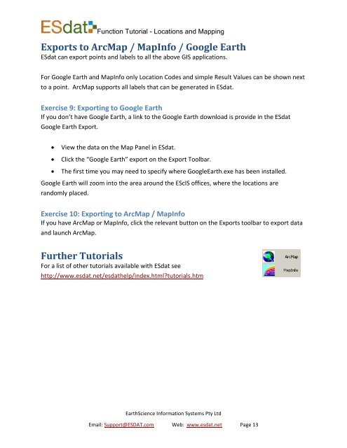
Function Tutorial - <strong>Locations</strong> <strong>and</strong> <strong>Mapping</strong>Exports to ArcMap / MapInfo / Google Earth<strong>ESdat</strong> can export points <strong>and</strong> labels to all the above GIS applications.For Google Earth <strong>and</strong> MapInfo only Location Codes <strong>and</strong> simple Result Values can be shown nextto a point. ArcMap supports all labels that can be generated in <strong>ESdat</strong>.Exercise 9: Exporting to Google EarthIf you don’t have Google Earth, a link to the Google Earth download is provide in the <strong>ESdat</strong>Google Earth Export.View the data on the Map Panel in <strong>ESdat</strong>.Click the “Google Earth” export on the Export Toolbar.The first time you may need to specify where GoogleEarth.exe has been installed.Google Earth will zoom into the area around the EScIS offices, where the locations arer<strong>and</strong>omly placed.Exercise 10: Exporting to ArcMap / MapInfoIf you have ArcMap or MapInfo, click the relevant button on the Exports toolbar to export data<strong>and</strong> launch ArcMap.Further TutorialsFor a list of other tutorials available with <strong>ESdat</strong> seehttp://www.esdat.net/esdathelp/index.html?tutorials.htmEarthScience Information Systems Pty LtdEmail: Support@ESDAT.com Web: www.esdat.net Page 13


