Rural Data Collection Technology - FHWA Operations - U.S. ...
Rural Data Collection Technology - FHWA Operations - U.S. ...
Rural Data Collection Technology - FHWA Operations - U.S. ...
- No tags were found...
Create successful ePaper yourself
Turn your PDF publications into a flip-book with our unique Google optimized e-Paper software.
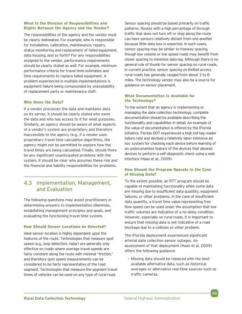
What Is the Division of Responsibilities andRights Between the Agency and the Vendor?The responsibilities of the agency and the vendor mustbe clearly delineated. For example, who is responsiblefor installation, calibration, maintenance, repairs,status monitoring and replacement of failed equipment,data housing, and so forth? For any responsibilitiesassigned to the vendor, performance requirementsshould be clearly stated as well. For example, minimumperformance criteria for travel time estimates andtime requirements to replace failed equipment. Aproblem experienced in multiple implementations isequipment failure being compounded by unavailabilityof replacement parts or maintenance staff.Who Owns the <strong>Data</strong>?If a vendor processes the data and maintains dataon its server, it should be clearly stated who ownsthe data and who has access to it for what purposes.Similarly, an agency should be aware of what aspectsof a vendor’s system are proprietary and thereforeinaccessible to the agency (e.g., if a vendor usesproprietary travel time calculation algorithms, theagency might not be permitted to explore how thetravel times are being calculated. Finally, should therebe any significant unanticipated problems with thesystem, it should be clear who assumes these risk andthe financial and liability responsibilities for problems.4.3 Implementation, Management,and EvaluationThe following questions may assist practitioners indetermining answers to implementation dilemmas,establishing management principles and goals, andevaluating the functioning travel time system.How Should Sensor Locations be Selected?Ideal sensor location is highly dependent upon thefeatures of the route. Technologies that measure spotspeed (e.g., loop detection, radar) are generally onlyeffective on roads where average travel speeds arefairly constant along the route with minimal “friction,”and therefore spot speed measurements can beconsidered to be fairly representative of the roadsegment. Technologies that measure the segment traveltimes of vehicles can be used on any type of rural road.Sensor spacing should be based primarily on trafficpatterns. Routes with a high percentage of throughtraffic that does not turn off or stop along the routecan have sensors relatively distant from one anotherbecause little data loss is expected. In such cases,sensor spacing may be similar to freeway spacing,though low volume or low speed roads may benefit fromcloser spacing to minimize data lag. Although there is nogeneral rule of thumb for sensor spacing on rural roads,in current practice, sensor spacing on limited accessrural roads has generally ranged from about 3 to 8miles. The technology vendor may also be a source forguidance on sensor placement.What Documentation Is Available forthe <strong>Technology</strong>?To the extent that an agency is implementing ormanaging the data collection technology, completedocumentation should be available describing thefunctionality and capabilities in detail. An example ofthe value of documentation is offered by the iFloridainitiative. Florida DOT experienced a high toll tag readerfailure rate and devised a relatively labor intensive adhoc system for checking each device before learning ofan undocumented feature of the devices that alloweddevices to perform a self-diagnostic check using a webinterface (Haas et al., 2009).How Should the Program Operate in the Caseof Missing <strong>Data</strong>?To the extent possible, an RTT program should becapable of maintaining functionality when some dataare missing due to insufficient data quantity, equipmentfailures, or other problems. In the case of insufficientdata quantity, a travel time value representing freeflow speed can be used under the assumption that lowtraffic volumes are indicative of a no-delay condition.However, especially on rural roads, it is important toensure that missing data is not indicative of a roadblockage due to a collision or other problem.The iFlorida deployment experienced significantarterial data collection sensor outages. Anassessment of that deployment (Haas et al, 2009)offers the following guidance:• Missing data should be replaced with the bestavailablealternative data, such as historicalaverages or alternative real-time sources such astraffic cameras.<strong>Rural</strong> <strong>Data</strong> <strong>Collection</strong> <strong>Technology</strong>Federal Highway Administration40


