Promoting Non-motorised Transport in Asian Cities
Shakti Sustainable Energy Foundation conducted a study to assess the viability of promoting non-motorised transport in Asian cities. As part of the study, they undertook a project – Nehru Place Placemaking. See more at: http://shaktifoundation.in/report/promoting-non-motorised-transport-asian-cities-policymakers-toolbox/
Shakti Sustainable Energy Foundation conducted a study to assess the viability of promoting non-motorised transport in Asian cities. As part of the study, they undertook a project – Nehru Place Placemaking. See more at: http://shaktifoundation.in/report/promoting-non-motorised-transport-asian-cities-policymakers-toolbox/

Create successful ePaper yourself
Turn your PDF publications into a flip-book with our unique Google optimized e-Paper software.
A cyclability <strong>in</strong>dex was created out of the f<strong>in</strong>d<strong>in</strong>gs and 5<br />
ma<strong>in</strong> criteria were central:<br />
• Bicycle route density<br />
• Bicycle route separation<br />
• Connectivity of bicycle-friendly streets<br />
• Topography<br />
• Dest<strong>in</strong>ation density<br />
Cyclability maps of Metro Vancouver were made out of<br />
this <strong>in</strong>dex and confirmed by the objective f<strong>in</strong>d<strong>in</strong>gs of the<br />
match<strong>in</strong>g between GIS analysis and trip details.<br />
In the BikeScore approach, the philosophy of walkscore<br />
is reflected <strong>in</strong> the bikescore concept(Walk Score, 2013).<br />
Bikescore measures bik<strong>in</strong>g quality of a location on a scale<br />
of 0 to 100 based on four equally weighted components:<br />
• Bike lanes<br />
• Hills<br />
• Dest<strong>in</strong>ations and road connectivity<br />
• Bike commut<strong>in</strong>g mode share<br />
The score is derived based on the analysis of parameters<br />
as described earlier based on GIS data provided by the city<br />
authorities.<br />
• University Locations: Universities and colleges are<br />
important bicycle dest<strong>in</strong>ations and trip generators.<br />
College students, those that live with<strong>in</strong> three miles<br />
of campuses, are more likely to use bicycles for<br />
transportation and leisure activities.<br />
• Population Density: The population density factor<br />
corresponds to the relative population density with<strong>in</strong><br />
the city. Areas with more people but with more mixed<br />
use per square mile have a great potential for bike<br />
rid<strong>in</strong>g and a greater need for bike facilities.<br />
• Employment Density: Areas with high employment<br />
density typical have high activity levels and closely<br />
spaced dest<strong>in</strong>ations for cycl<strong>in</strong>g trips.<br />
• Job Hous<strong>in</strong>g Balance: This factor is related to<br />
employment density but captures the bicycle potential<br />
of areas with mixed use.<br />
• Auto Access: Households with access to an automobile<br />
are less likely to use bicycles as their primary form of<br />
transportation.<br />
• Proximity to Transit: Bicycle routes that connect<br />
hous<strong>in</strong>g and job locations to transit stops may<br />
encourage transit ridership (Bernheim, 2004).<br />
The outcome of the study is a map of San Jose show<strong>in</strong>g<br />
which roads should be prioritized <strong>in</strong> the Master Plan (and<br />
the degree of priority, accord<strong>in</strong>g to color gradients) for<br />
future accommodation of bike users.<br />
2.5 Cyclability Assessment Tool for Asia<br />
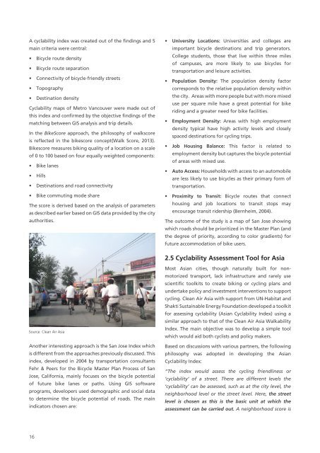
Source: Clean Air Asia<br />
Another <strong>in</strong>terest<strong>in</strong>g approach is the San Jose Index which<br />
is different from the approaches previously discussed. This<br />
<strong>in</strong>dex, developed <strong>in</strong> 2004 by transportation consultants<br />
Fehr & Peers for the Bicycle Master Plan Process of San<br />
Jose, California, ma<strong>in</strong>ly focuses on the bicycle potential<br />
of future bike lanes or paths. Us<strong>in</strong>g GIS software<br />
programs, developers used demographic and social data<br />
to determ<strong>in</strong>e the bicycle potential of roads. The ma<strong>in</strong><br />
<strong>in</strong>dicators chosen are:<br />
Most <strong>Asian</strong> cities, though naturally built for nonmotorized<br />
transport, lack <strong>in</strong>frastructure and rarely use<br />
scientific toolkits to create bik<strong>in</strong>g or cycl<strong>in</strong>g plans and<br />
undertake policy and <strong>in</strong>vestment <strong>in</strong>terventions to support<br />
cycl<strong>in</strong>g. Clean Air Asia with support from UN-Habitat and<br />
Shakti Susta<strong>in</strong>able Energy Foundation developed a toolkit<br />
for assess<strong>in</strong>g cyclability (<strong>Asian</strong> Cyclability Index) us<strong>in</strong>g a<br />
similar approach to that of the Clean Air Asia Walkability<br />
Index. The ma<strong>in</strong> objective was to develop a simple tool<br />
which would aid both cyclists and policy makers.<br />
Based on discussions with various partners, the follow<strong>in</strong>g<br />
philosophy was adopted <strong>in</strong> develop<strong>in</strong>g the <strong>Asian</strong><br />
Cyclability Index:<br />
“The <strong>in</strong>dex would assess the cycl<strong>in</strong>g friendl<strong>in</strong>ess or<br />
‘cyclability’ of a street. There are different levels the<br />
‘cyclability’ can be assessed, such as at the city level, the<br />
neighborhood level or the street level. Here, the street<br />
level is chosen as this is the basic unit at which the<br />
assessment can be carried out. A neighborhood score is<br />
16