United States Agency for International Development - (PDF, 101 mb ...
United States Agency for International Development - (PDF, 101 mb ...
United States Agency for International Development - (PDF, 101 mb ...

You also want an ePaper? Increase the reach of your titles
YUMPU automatically turns print PDFs into web optimized ePapers that Google loves.
Introduction<br />
VEGETATION OF THE PHILIPPINE ISLANDS<br />
by Dr. Edwino S. Fernando<br />
Department of Forest Biological Sciences, and<br />
the Makiling Botanic Gardens, University of the Philippines<br />
at Los Baiios, College, 4031 Laguna, Philippines<br />
The Philippine Islands lie slightly above the equator on the western edge of the Pacific Ocean.<br />
They are spread in a north-south orientation between 21" and 5" N latitude and between 116"<br />
and 126"E longitude, stretching some 1839 km between Taiwan to its north, and Borneo and<br />
Sulawesi to its south. The islands <strong>for</strong>m part of a phytogeographical region known as Malesia<br />
that also includes the Malay Peninsula, Singapore, Sumatra, Borneo, Java, the Lesser Sunda<br />
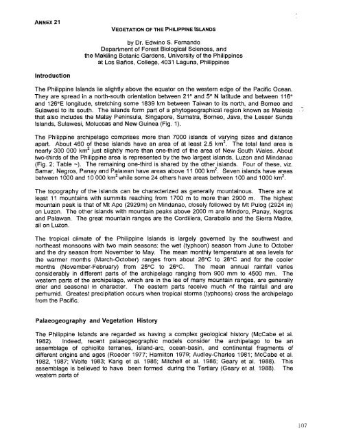
Islands, Sulawesi, Moluccas and New Guinea (Fig. 1).<br />
The Philippine archipelago comprises more than 7000 islands of varying sizes and distance<br />
apart. About 460 of these islands have an area of at least 2.5 km2. The total land area is<br />
nearly 300 000 km2 just slightly more than one-third of the area of New South Wales. About<br />
two-thirds of the Philippine area is represented by the two largest islands, Luzon and Mindanao<br />
(Fig. 2; Table -). The remaining one-third is shared by the other islands. Four of these, viz.<br />
Samar, Negros, Panay and Palawan have areas above 11 000 km2. Seven islands have areas<br />
between 1000 and 10 000 km2 while some 24 others have areas between 100 and 1000 km2.<br />
The topography of the islands can be characterized as generally mountainous. There are at<br />
least 11 mountains with summits reaching from 1700 m to more than 2900 m. The highest<br />
mountain peak is that of Mt Apo (2929m) on Mindanao, closely followed by Mt Pulog (2924 in)<br />
on Luzon. The other islands with mountain peaks above 2000 m are Mindoro, Panay, Negros<br />
and Palawan. The great mountain ranges are the Cordillera, Caraballo and the Sierra Madre,<br />
all on Luzon.<br />
The tropical climate of the Philippine Islands is largely governed by the southwest and<br />
northeast monsoons with two main seasons: the wet (typhoon) season from June to October<br />
and the dry season from Nove<strong>mb</strong>er to May. The mean monthly temperature at sea levels <strong>for</strong><br />
the warmer months (March-October) ranges from about 26°C to 28°C and <strong>for</strong> the cooler<br />
months (Nove<strong>mb</strong>er-February) from 25°C to 26°C. The mean annual rainfall varies<br />
considerably in different parts of the archipelago ranging from 900 mm to 4500 mm. The<br />
western parts of the archipelago, which are in the lee of many mountain ranges, are generally<br />
drier and seasonal in character. The eastern parts receive much nf the rainfall and are<br />
perhumid. Greatest precipitation occurs when tropical storms (typhoons) cross the archipelago<br />
from the Pacific.<br />
Palaeogeography and Vegetation History<br />
The Philippine lslands are regarded as having a complex geological history (McCabe et al.<br />
1982). Indeed, recent palaeogeographic models consider the archipelago to be an<br />
asse<strong>mb</strong>lage of ophiolite terranes, island-arc, ocean-basin, and continental fragments of<br />
different origins and ages (Roeder 1977; Hamilton 1979; Audley-Charles 1981; McCabe et al.<br />
1982, 1987; Wolfe 1983; Karig et al. 1986; Mitchell et al. 1986; Geary et al. 1988). This<br />
asse<strong>mb</strong>lage is believed to have been <strong>for</strong>med during the Tertiary (Geary et al. 1988). The<br />
western parts of