Acoustics & Sonar Engineering Radar, Missiles & Defense Systems ...
Acoustics & Sonar Engineering Radar, Missiles & Defense Systems ...
Acoustics & Sonar Engineering Radar, Missiles & Defense Systems ...

You also want an ePaper? Increase the reach of your titles
YUMPU automatically turns print PDFs into web optimized ePapers that Google loves.
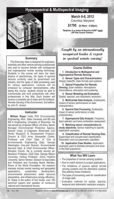
Hyperspectral & Multispectral Imaging<br />
Summary<br />
This three-day class is designed for engineers,<br />
scientists and other remote sensing professionals<br />
who wish to become familiar with multispectral<br />
and hyperspectral remote sensing technology.<br />
Students in this course will learn the basic<br />
physics of spectroscopy, the types of spectral<br />
sensors currently used by government and<br />
industry, and the types of data processing used<br />
for various applications. Lectures will be<br />
enhanced by computer demonstrations. After<br />
taking this course, students should be able to<br />
communicate and work productively with other<br />
professionals in this field. Each student will<br />
receive a complete set of notes and the textbook,<br />
Remote Sensing of the Environment, 2nd edition,<br />
by John R. Jensen.<br />
Instructor<br />
William Roper holds PhD Environmental<br />
<strong>Engineering</strong>, Mich. State University and BS and<br />
MS in <strong>Engineering</strong>, University of Wisconsin. He<br />
has served as: Engineer Officer, US Army, Senior<br />
Manager Environmental Protection Agency,<br />
Director Corps of Engineers World-wide Civil<br />
Works Research & Development Program,<br />
Director & CEO Army Geospatial Center,<br />
Professor and Chair Dept. of Civil &<br />
Environmental <strong>Engineering</strong> Dept, George<br />
Washington Univ.and Director, Environmental<br />
Services Dept. & Chief Environmental Officer,<br />
Arlington County. He is currently serving as:<br />
Research Professor, GGS Dept. George Mason<br />
University, Visiting Professor, Johns Hopkins<br />
University, Senior Advisor, Dawson & Associates<br />
and President and Founding Board Member,<br />
Rivers of the World Foundation. His research<br />
interests include remote sensing and geospatial<br />
applications, sustainable development,<br />
environmental assessment, water resource<br />
stewardship, and infrastructure energy efficiency.<br />
Dr. Roper is the author of four books, over 150<br />
technical papers and speaker at numerous<br />
national and international forums.<br />
March 6-8, 2012<br />
Columbia, Maryland<br />
$1795 (8:30am - 4:00pm)<br />
"Register 3 or More & Receive $100 00 each<br />
Off The Course Tuition."<br />
Taught by an internationally<br />
recognized leader & expert<br />
in spectral remote sensing!<br />
Course Outline<br />
1. Introduction to Multispectral and<br />
Hyperspectral Remote Sensing.<br />
2. Sensor Types and Characterization.<br />
Design tradeoffs. Data formats and systems.<br />
3. Optical Properties For Remote<br />
Sensing. Solar radiation. Atmospheric<br />
transmittance, absorption and scattering.<br />
4. Sensor Modeling and Evaluation.<br />
Spatial, spectral, and radiometric resolution.<br />
5. Multivariate Data Analysis. Scatterplots.<br />
Impact of sensor performance on data<br />
characteristics.<br />
6. Spectral Data Processing. Scatterplots,<br />
impact of sensor performance on data<br />
characteristics.<br />
7. Hyperspectral Data Analysis. Frequency<br />
band selection and band combination assessment.<br />
8. Matching sensor characteristics to<br />
study objectives. Sensor matching to specific<br />
application examples.<br />
9. Classification of Remote Sensing Data.<br />
Supervised and unsupervised classification;<br />
Parametric and non-parametric classifiers.<br />
10. Application Case Studies. Application<br />
examples used to illustrate principles and show<br />
in-the-field experience.<br />
What You Will Learn<br />
• The properties of remote sensing systems.<br />
• How to match sensors to project applications.<br />
• The limitations of passive optical remote<br />
sensing systems and the alternative systems<br />
that address these limitations.<br />
• The types of processing used for classification<br />
of image data.<br />
• Evaluation methods for spatial, spectral,<br />
temporal and radiometric resolution analysis.<br />
10 – Vol. 109 Register online at www.ATIcourses.com or call ATI at 888.501.2100 or 410.956.8805