aus dem MARUM und dem Fachbereich Geowissenschaften der ...
aus dem MARUM und dem Fachbereich Geowissenschaften der ...
aus dem MARUM und dem Fachbereich Geowissenschaften der ...
You also want an ePaper? Increase the reach of your titles
YUMPU automatically turns print PDFs into web optimized ePapers that Google loves.
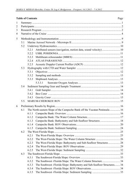
MARIA S. MERIAN-Berichte, Cruise 20, Leg 4, Bridgetown – Freeport, 14.3.2012 – 7.4.2012<br />
Table of Contents Page<br />
1 Summary .................................................................................................................................. 1<br />
2 Participants ............................................................................................................................... 2<br />
3 Research Program .................................................................................................................... 2<br />
4 Narrative of the Cruise ............................................................................................................ 4<br />
5 Methodology and Instrumentation ........................................................................................... 9<br />
5.1 Marine Aerosol Network - Microtops II ......................................................................... 9<br />
5.2 Un<strong>der</strong>way Hydroacoustics ............................................................................................ 10<br />
5.2.1 Attributed sensors (navigation, motion data, so<strong>und</strong> velocity) .......................... 10<br />
5.2.2 USBL POSIDONIA .......................................................................................... 11<br />
5.2.3 Multibeam echoso<strong>und</strong>er (MBES) ..................................................................... 11<br />
5.2.4 ATLAS PARASOUND .................................................................................... 12<br />
5.2.5 Acoustic Doppler Current Profiler (ADCP) ..................................................... 12<br />
5.3 Hydrography with CTD and Water Sampler ............................................................... 12<br />
5.3.1 Objectives ......................................................................................................... 12<br />
5.3.2 Sampling and methods ...................................................................................... 13<br />
5.3.3 Shipboard Analyses .......................................................................................... 13<br />
5.3.3.1 Seawater Oxygen Analyses ............................................................. 13<br />
5.4 Sediment Sampling Gear and Sample Treatment ......................................................... 14<br />
5.4.1 Grab Sampler......................................................................................................... 14<br />
5.4.2 Box Corer ............................................................................................................. 14<br />
5.4.3 Gravity Corer ........................................................................................................ 15<br />
5.5. <strong>MARUM</strong>-CHEROKEE ROV ....................................................................................... 15<br />
6 Preliminary Results by Region ............................................................................................... 16<br />
6.1 The North-eastern Slope of the Campeche Bank off the Yucatan Peninsula ............... 16<br />
6.1.1 Campeche Bank: Overview .............................................................................. 16<br />
6.1.2 Campeche Bank: The Water Column Structure ................................................ 17<br />
6.1.3 Campeche Bank: Bathymetry and Sub-Seafloor Structures ............................. 18<br />
6.1.4 Campeche Bank: ROV Observations................................................................ 20<br />
6.1.5 Campeche Bank: Sediment Sampling .............................................................. 24<br />
6.2 The West-Florida Slope ................................................................................................ 25<br />
6.2.1 The West-Florida Slope: Overview .................................................................. 25<br />
6.2.2 The West-Florida Slope: The Water Column Structure ................................... 26<br />
6.2.3 The West-Florida Slope: Bathymetry and Sub-Seafloor Structures ................. 28<br />
6.2.4 The West-Florida Slope: ROV Observations ................................................... 29<br />
6.2.5 The West-Florida Slope: Sediment Sampling .................................................. 32<br />
6.3 The Southwest-Florida Slope ....................................................................................... 33<br />
6.3.1 The Southwest-Florida Slope: Overview .......................................................... 33<br />
6.3.2 The Southwest -Florida Slope: The Water Column Structure .......................... 34<br />
6.3.3 The Southwest -Florida Slope: Bathymetry and Sub-Seafloor Structures ........ 34<br />
6.3.4 The Southwest -Florida Slope: ROV Observations .......................................... 34<br />
6.3.5 The Southwest -Florida Slope: Sediment Sampling ........................................ 35


