Undersøgelse af RTK teknikker - Danmarks Tekniske Universitet
Undersøgelse af RTK teknikker - Danmarks Tekniske Universitet
Undersøgelse af RTK teknikker - Danmarks Tekniske Universitet
Create successful ePaper yourself
Turn your PDF publications into a flip-book with our unique Google optimized e-Paper software.
Abstract iii<br />
Abstract<br />
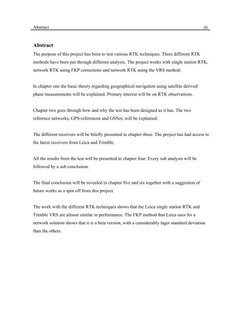
The purpose of this project has been to test various <strong>RTK</strong> techniques. Three different <strong>RTK</strong><br />
methods have been put through different analysis. The project works with single station <strong>RTK</strong>,<br />
network <strong>RTK</strong> using FKP corrections and network <strong>RTK</strong> using the VRS method.<br />
In chapter one the basic theory regarding geographical navigation using satellite derived<br />
phase measurements will be explained. Primary interest will be on <strong>RTK</strong> observations.<br />
Chapter two goes through how and why the test has been designed as it has. The two<br />
reference networks, GPS-referencen and GSNet, will be explained.<br />
The different receivers will be briefly presented in chapter three. The project has had access to<br />
the latest receivers from Leica and Trimble.<br />
All the results from the test will be presented in chapter four. Every sub analysis will be<br />
followed by a sub conclusion.<br />
The final conclusion will be revealed in chapter five and six together with a suggestion of<br />
future works as a spin off from this project.<br />
The work with the different <strong>RTK</strong> techniques shows that the Leica single station <strong>RTK</strong> and<br />
Trimble VRS are almost similar in performance. The FKP method that Leica uses for a<br />
network solution shows that it is a beta version, with a considerably lager standard deviation<br />
than the others.


