Multimedia Navigation New York 800 Truck - Blaupunkt
Multimedia Navigation New York 800 Truck - Blaupunkt
Multimedia Navigation New York 800 Truck - Blaupunkt

You also want an ePaper? Increase the reach of your titles
YUMPU automatically turns print PDFs into web optimized ePapers that Google loves.
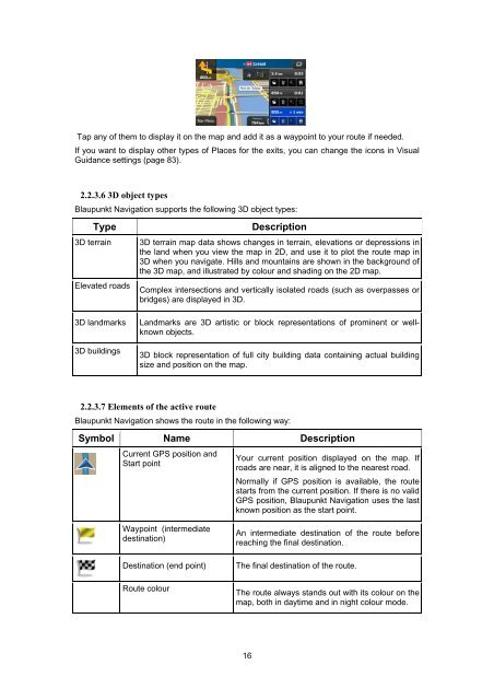
Tap any of them to display it on the map and add it as a waypoint to your route if needed.<br />
If you want to display other types of Places for the exits, you can change the icons in Visual<br />
Guidance settings (page 83).<br />
2.2.3.6 3D object types<br />
<strong>Blaupunkt</strong> <strong>Navigation</strong> supports the following 3D object types:<br />
Type Description<br />
3D terrain 3D terrain map data shows changes in terrain, elevations or depressions in<br />
the land when you view the map in 2D, and use it to plot the route map in<br />
3D when you navigate. Hills and mountains are shown in the background of<br />
the 3D map, and illustrated by colour and shading on the 2D map.<br />
Elevated roads Complex intersections and vertically isolated roads (such as overpasses or<br />
bridges) are displayed in 3D.<br />
3D landmarks Landmarks are 3D artistic or block representations of prominent or wellknown<br />
objects.<br />
3D buildings<br />
3D block representation of full city building data containing actual building<br />
size and position on the map.<br />
2.2.3.7 Elements of the active route<br />
<strong>Blaupunkt</strong> <strong>Navigation</strong> shows the route in the following way:<br />
Symbol Name Description<br />
Current GPS position and<br />
Start point<br />
Waypoint (intermediate<br />
destination)<br />
Your current position displayed on the map. If<br />
roads are near, it is aligned to the nearest road.<br />
Normally if GPS position is available, the route<br />
starts from the current position. If there is no valid<br />
GPS position, <strong>Blaupunkt</strong> <strong>Navigation</strong> uses the last<br />
known position as the start point.<br />
An intermediate destination of the route before<br />
reaching the final destination.<br />
Destination (end point) The final destination of the route.<br />
Route colour<br />
The route always stands out with its colour on the<br />
map, both in daytime and in night colour mode.<br />
16