

Download the 2012 Buyers Guide - Cactus Navigation ...
Download the 2012 Buyers Guide - Cactus Navigation ...
Download the 2012 Buyers Guide - Cactus Navigation ...

You also want an ePaper? Increase the reach of your titles
YUMPU automatically turns print PDFs into web optimized ePapers that Google loves.
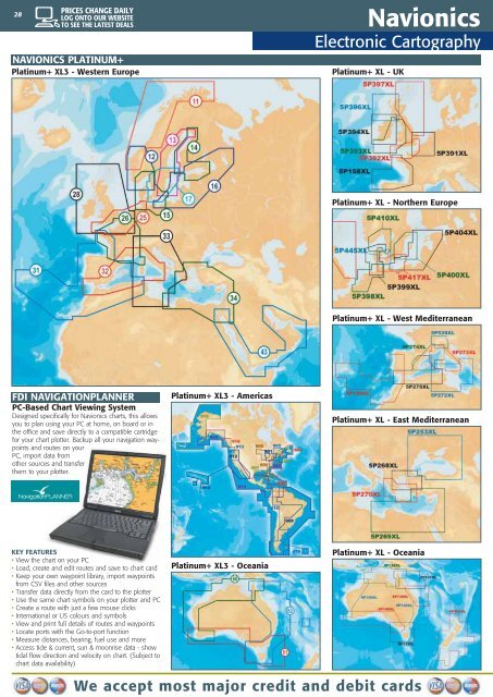
28<br />
Navionics<br />
Electronic Cartography<br />
NAVIONICS PLATINUM+<br />
Platinum+ XL3 - Western Europe Platinum+ XL - UK<br />
FDI NAVIGATIONPLANNER<br />
PC-Based Chart Viewing System<br />
Designed specifically for Navionics charts, this allows<br />
you to plan using your PC at home, on board or in<br />
<strong>the</strong> office and save directly to a compatible cartridge<br />
for your chart plotter. Backup all your navigation waypoints<br />
and routes on your<br />
PC, import data from<br />
o<strong>the</strong>r sources and transfer<br />
<strong>the</strong>m to your plotter.<br />
KEY FEATURES<br />
• View <strong>the</strong> chart on your PC<br />
• Load, create and edit routes and save to chart card<br />
• Keep your own waypoint library, import waypoints<br />
from CSV files and o<strong>the</strong>r sources<br />
• Transfer data directly from <strong>the</strong> card to <strong>the</strong> plotter<br />
• Use <strong>the</strong> same chart symbols on your plotter and PC<br />
• Create a route with just a few mouse clicks<br />
• International or US colours and symbols<br />
• View and print full details of routes and waypoints<br />
• Locate ports with <strong>the</strong> Go-to-port function<br />
• Measure distances, bearing, fuel use and more<br />
• Access tide & current, sun & moonrise data - show<br />
tidal flow direction and velocity on chart. (Subject to<br />
chart data availability)<br />
Platinum+ XL3 - Americas<br />
Platinum+ XL3 - Oceania<br />
Platinum+ XL - Nor<strong>the</strong>rn Europe<br />
Platinum+ XL - West Mediterranean<br />
Platinum+ XL - East Mediterranean<br />
Platinum+ XL - Oceania<br />
We accept most major credit and debit cards