Scottish Road Network Landslides Study - University of Glasgow
Scottish Road Network Landslides Study - University of Glasgow
Scottish Road Network Landslides Study - University of Glasgow
Create successful ePaper yourself
Turn your PDF publications into a flip-book with our unique Google optimized e-Paper software.
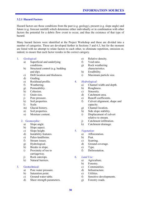
3.2.1 Hazard Factors<br />
30<br />
INFORMATION SOURCES<br />
Hazard factors are those conditions from the past (e.g. geology), present (e.g. slope angle) and<br />
future (e.g. forecast rainfall) which determine either individually or in combination with other<br />
factors the potential for a debris flow event to occur, and thus the existence <strong>of</strong> that type <strong>of</strong><br />
hazard.<br />
Many hazard factors were identified at the Project Workshop and these are divided into a<br />
number <strong>of</strong> categories. These are developed further in Sections 5 and 6.3, but for the moment<br />
are listed with no attempt to relate factors to each other, to eliminate repetition, omission or,<br />
indeed, to ensure that each factor resides in the correct category.<br />
1. Geological:<br />
a) Superficial and underlying<br />
conditions.<br />
b) Structural control (e.g. bedding<br />
and dip).<br />
c) Drift location and thickness.<br />
d) Grading.<br />
e) Rockhead pr<strong>of</strong>ile.<br />
f) Weathering.<br />
g) Permeability.<br />
h) Cohesion.<br />
i) Grain size.<br />
j) Pore pressure.<br />
k) Soil properties.<br />
l) Scale.<br />
m) Glacial history.<br />
n) Soil properties.<br />
o) Moisture content.<br />
2. Geomorphic:<br />
a) Slope angle.<br />
b) Slope aspect.<br />
c) Slope height.<br />
d) Instability features.<br />
e) Paleo-landforms.<br />
f) Stream issues.<br />
g) Hydrological.<br />
h) Breaks in slope.<br />
i) Proximity <strong>of</strong> toe to<br />
carriageway.<br />
j) Rock outcrops.<br />
k) Natural barriers.<br />
3. Geotechnical:<br />
a) Pore water pressure.<br />
b) Saturation point.<br />
c) Ground water table.<br />
d) Sheer strength parameters.<br />
e) Relative density.<br />
f) Void ratio.<br />
g) Rock weathering<br />
characteristics.<br />
h) Erodibility.<br />
i) Maximum particle size.<br />
4. Hydrological:<br />
a) Channel width and depth.<br />
b) Roughness.<br />
c) Sinuosity.<br />
d) Catchment area.<br />
e) Run<strong>of</strong>f coefficients.<br />
f) Culvert alignment, shape and<br />
capacity.<br />
g) Channel location.<br />
h) Side slope stability.<br />
i) Displacement <strong>of</strong> culvert<br />
relative to stream.<br />
j) Catchment infiltration.<br />
k) Catchment drainage.<br />
5. Vegetation:<br />
a) Afforestation.<br />
b) Peat.<br />
c) Scarring.<br />
d) Ground coverage.<br />
e) Type.<br />
f) Deforestation.<br />
6. Land Use:<br />
a) Agriculture.<br />
b) Forestry.<br />
c) Communities.<br />
d) Infrastructure.<br />
e) Utilities.<br />
f) Sensitive developments.<br />
g) Forestry roads.


