

Download - Coordinates
Download - Coordinates
Download - Coordinates

You also want an ePaper? Increase the reach of your titles
YUMPU automatically turns print PDFs into web optimized ePapers that Google loves.
NEWSBRIEFS — GIS<br />
Border inspection<br />
mapping operation<br />
China and Nepal will jointly launch a<br />
border inspection mapping operation.<br />
Both countries will apply GPS to<br />
survey the border marks. The major<br />
mapping work will be done by Chinese<br />
workers and then workers from Nepal<br />
will check the mapping data and<br />
results. The Surveying and Mapping<br />
Bureau of Shaanxi, from northwest<br />
China, has been appointed to take the<br />
task and will form the main body of the<br />
China team. The first batch of mapping<br />
workers are scheduled to arrive in<br />
the China-Nepal border area next<br />
month and all the outdoor surveying<br />
is planned to finish by the end of<br />
September. It is expected that the final<br />
mapping outcome will be unveiled by<br />
the end of 2007. www.vnagency.com.vn<br />
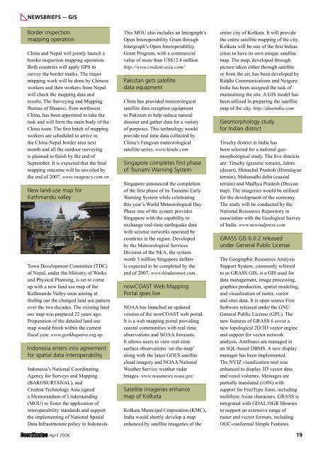
New land-use map for<br />
Kathmandu valley<br />
Town Development Committee (TDC)<br />
of Nepal, under the Ministry of Works<br />
and Physical Planning, is set to come<br />
up with a new land use map of the<br />
Kathmandu Valley soon aiming at<br />
finding out the changed land use pattern<br />
over the two decades. The existing land<br />
use map was prepared 22 years ago.<br />
Preparation of the detailed land use<br />
map would finish within the current<br />
fiscal year. www.gorkhapatra.org.np<br />
Indonesia enters into agreement<br />
for spatial data interoperability<br />
Indonesia’s National Coordinating<br />
Agency for Surveys and Mapping<br />
(BAKOSURTANAL), and<br />
Credent Technology Asia signed<br />
a Memorandum of Understanding<br />
(MOU) to foster the application of<br />
interoperability standards and support<br />
the implementing of National Spatial<br />
Data Infrastructure policy in Indonesia.<br />
This MOU also includes an Intergraph’s<br />
Open Interoperability Grant through<br />
Intergraph’s Open Interoperability<br />
Grant Program, with a commercial<br />
value of more than US$12.4 million<br />
http://www.credent-asia.com/<br />
Pakistan gets satellite<br />
data equipment<br />
China has provided meteorological<br />
satellite data reception equipment<br />
to Pakistan to help reduce natural<br />
disaster and gather data for a variety<br />
of purposes. This technology would<br />
provide real time data collected by<br />
China’s Fengyun meteorological<br />
satellite series. www.hindu.com<br />
Singapore completes first phase<br />
of Tsunami Warning System<br />
Singapore announced the completion<br />
of the first phase of its Tsunami Early<br />
Warning System while celebrating<br />
this year’s World Meteorological Day.<br />
Phase one of the system provides<br />
Singapore with the capability to<br />
exchange real-time earthquake data<br />
with seismic networks operated by<br />
countries in the region. Developed<br />
by the Meteorological Services<br />
Division of the NEA, the system<br />
worth 3 million Singapore dollars<br />
is expected to be completed by the<br />
end of 2007. www.hinduonnet.com<br />
nowCOAST Web Mapping<br />
Portal goes live<br />
NOAA has launched an updated<br />
version of the nowCOAST web portal.<br />
It is a web mapping portal providing<br />
coastal communities with real-time<br />
observations and NOAA forecasts.<br />
It allows users to view real-time<br />
surface observations ‘on-the-map’<br />
along with the latest GOES satellite<br />
cloud imagery and NOAA National<br />
Weather Service weather radar<br />
images. www.noaanews.noaa.gov<br />
Satellite imageries enhance<br />
map of Kolkata<br />
Kolkata Municipal Corporation (KMC),<br />
India would shortly develop a map<br />
enhanced by satellite imageries of the<br />
entire city of Kolkata. It will provide<br />
the entire satellite mapping of the city.<br />
Kolkata will be one of the first Indian<br />
cities to have its own unique satellite<br />
map. The map, developed through<br />
picture taken either through satellite<br />
or from the air, has been developed by<br />
Riddhi Communications and Netguru<br />
India has been assigned the task of<br />
maintaining the site. A GIS model has<br />
been utilised in preparing the satellite<br />
map of the city. http://dnaindia.com<br />
Geomorphology study<br />
for Indian district<br />
Tiruchy district in India has<br />
been selected for a national geomorphological<br />
study. The five districts<br />
are: Tiruchy (granitic terrain), Jalore<br />
(desert), Himachal Pradesh (Himalayan<br />
terrain), Mahanadhi delta (coastal<br />
terrain) and Madhya Pradesh (Deccan<br />
trap). The imageries would be utilised<br />
for the development of the economy.<br />
The study will be conducted by the<br />
National Resources Repository in<br />
association with the Geological Survey<br />
of India. www.newindpress.com<br />
GRASS GIS 6.0.2 released<br />
under General Public License<br />
The Geographic Resources Analysis<br />
Support System, commonly referred<br />
to as GRASS GIS, is a GIS used for<br />
data management, image processing,<br />
graphics production, spatial modeling,<br />
and visualization of raster, vector<br />
and sites data. It is open source Free<br />
Software released under the GNU<br />
General Public License (GPL). The<br />
new features of GRASS 6 cover a<br />
new topological 2D/3D vector engine<br />
and support for vector network<br />
analysis. Attributes are managed in<br />
an SQL-based DBMS. A new display<br />
manager has been implemented.<br />
The NVIZ visualization tool was<br />
enhanced to display 3D vector data<br />
and voxel volumes. Messages are<br />
partially translated (i18N) with<br />
support for FreeType fonts, including<br />
multibyte Asian characters. GRASS is<br />
integrated with GDAL/OGR libraries<br />
to support an extensive range of<br />
raster and vector formats, including<br />
OGC-conformal Simple Features.<br />
April 2006 19


