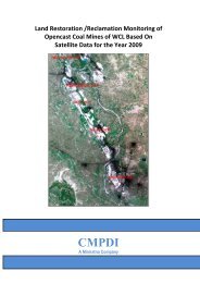
pench-kanhan coalfields - Western Coalfields Ltd. India.
pench-kanhan coalfields - Western Coalfields Ltd. India.
pench-kanhan coalfields - Western Coalfields Ltd. India.

Create successful ePaper yourself
Turn your PDF publications into a flip-book with our unique Google optimized e-Paper software.
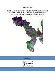
Job No. 561410027 (WCL) 23<br />
CMPDI<br />
Total mining area covers 6.84 km 2 (0.75%) out of which quarry covers 0.16<br />
km 2 (0.02%), barren OB dump covers 4.52 km 2 (0.50%), backfill covers 0.41<br />
km 2 (0.05%), coal dump covers 0.19 km 2 (0.02%), advanced quarry covers<br />
0.18 km 2 (0.02%), and water filled quarry covers 1.38 km 2 (0.15%).<br />
3.3.4 Agriculture<br />
Land primarily used for farming and production of food, fibre and other<br />
commercial and horticultural crops falls under this category. It includes crop<br />
land and fallow land. Crop lands are those agricultural lands where standing<br />
crop occurs on the date of satellite imagery or land is used for agricultural<br />
purposes during any season of the year. Crops may be either kharif or rabi.<br />
Fallow lands are also agricultural land which is taken up for cultivation but<br />
temporarily allowed to rest, un-cropped for one or more season.<br />
Analysis of data reveals that agriculture land in Pench-Kanhan-Tawa Valley<br />
Coalfield area occupies an area of 331.27 km 2 (36.49%). Out of which crop<br />
land is 151.07 km 2 (16.64%) and fallow land covers an area of 180.21 km 2<br />
(19.85%).<br />
3.3.5 Wasteland<br />
Wasteland is a degraded and under-utilised class of land that has<br />
deteriorated on account of natural causes or due to lack of appropriate water<br />
and soil management. Wasteland can result from inherent/imposed<br />
constraints such as location, environment, chemical and physical properties<br />
of the soil or financial or other management constraints (NWDB, 1987). This<br />
also includes fly ash pond and sand body formed on the banks of the river<br />
owing to the non flow of water there.