pench-kanhan coalfields - Western Coalfields Ltd. India.
pench-kanhan coalfields - Western Coalfields Ltd. India.
pench-kanhan coalfields - Western Coalfields Ltd. India.

Create successful ePaper yourself
Turn your PDF publications into a flip-book with our unique Google optimized e-Paper software.
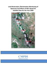
Introduction<br />
1.1 Project Reference<br />
Chapter 1<br />
Job No. 561410027 (WCL) 1<br />
CMPDI<br />
A road map was submitted by CMPDI to Coal <strong>India</strong> <strong>Ltd</strong>. for creating the<br />
geo-environmental data base of all the 28 major <strong>coalfields</strong> and to assess<br />
the impact of coal mining and associated industrialization on land use and<br />
vegetation cover at regular interval of three years. Work order no.<br />
CIL/WBP/Env/2009/2428 dated 29.12.009; was issued by CIL to CMPDI for<br />
the above study. In pursuant to the above work order, land use/vegetation<br />
cover mapping of Pench-Kanhan-Tawa Valley Coalfield based on satellite<br />
data was taken up to create the geo-environmental data base of the coal-<br />
field using remote sensing data & GIS.<br />
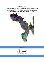
1.2 Objectives<br />
The objective of the present study is to prepare a regional land use and<br />
vegetation cover map of Pench-Kanhan-Tawa Valley coalfield on 1:50,000<br />
scale based on satellite data of the year 2011, using digital image<br />
processing technique for creating the geo-environmental data base in<br />
respect of land use, vegetation cover, drainage, mining area, infrastructure<br />
etc. and updation of database at regular interval of three years to assess<br />
the impact of coal mining and other industrial activities on land use and<br />
vegetation cover in the coalfield area.<br />
1.3 Location & Accessibility<br />
Pench-Kanhan-Tawa Valley Coalfield covering an area of about 907.90 sq.<br />
Km. lies in the Chhindwara and Betul district of Madhya Pradesh. It forms<br />
the southern fringes of Satpura basin. This coalfield has been divided into<br />
three parts: Pench, Kanhan and Tawa. It is bounded by Latitude 22 0 05’ to