Modeling spatial population scenarios
Modeling spatial population scenarios
Modeling spatial population scenarios

Create successful ePaper yourself
Turn your PDF publications into a flip-book with our unique Google optimized e-Paper software.
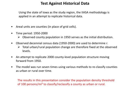
Test Against Historical Data<br />
Using the state of Iowa as the study region, the IIASA methodology is<br />
applied in an attempt to replicate historical data.<br />
• Areal units are counties (in place of grid cells).<br />
• Time period: 1950-2000<br />
Observed county <strong>population</strong> in 1950 serves as the initial distribution.<br />
• Observed decennial census data (1950-2000) are used to determine r.<br />
Total urban/rural <strong>population</strong> change are therefore fixed at the observed<br />
levels.<br />
• An attempt to replicate 2000 county-level <strong>population</strong> structure moving<br />
forward from 1950.<br />
• The model was run seven times using various methods to re-classify counties<br />
as urban or rural over time.<br />
The results in this presentation consider the <strong>population</strong> density threshold<br />
of 100 persons/mi² to classify/reclassify a county as urban or rural.